Map of Lodi, California
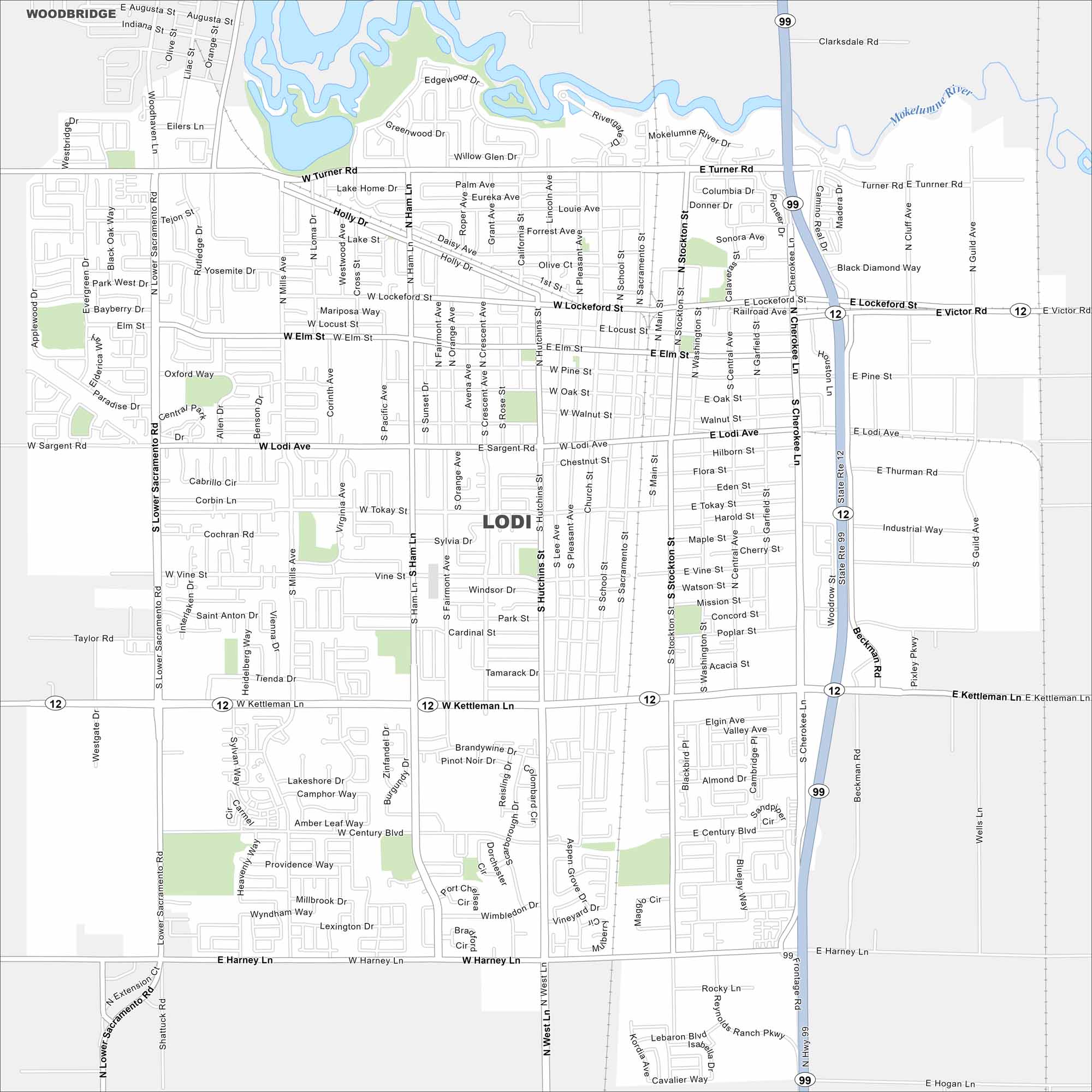
Our map of Lodi places it in the Central Valley north of Stockton. The city is part of the San Joaquin County in the center part of California’s Central Valley. Highways 99 and 12 run through town.
California State Maps
Explore California with our state maps


Map Information
On the Map
Interstates/Highways: State Rte 12, State Rte 99 Major Roads: Kettleman Ln, Lodi Ave, Cherokee Ln, Victor Rd, Ham Ln, Lower Sacramento Rd, Stockton St, Central Ave, Turner Rd, Harney Ln, Lockeford St, Elm St, Pine St, Tokay St, Westgate Rd, Mills Ave, Washington St, Cluff Ave, Guild Ave, Beckman Rd Major Rivers: Mokelumne River Nearby Communities: WoodbridgeCalifornia City Maps
Here are detailed maps of California


