Map of Lincoln, California
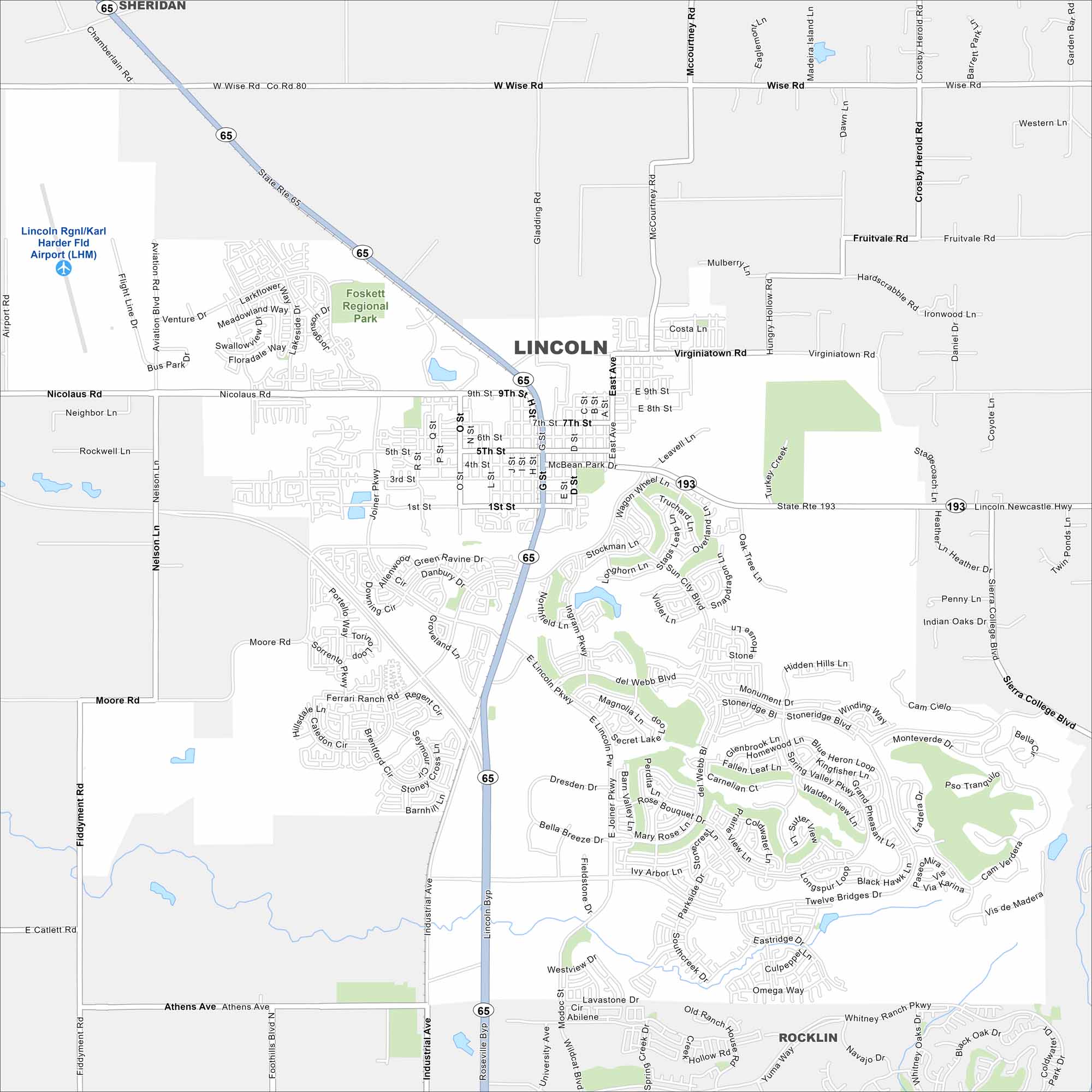
Lincoln shows up on the map at the edge of the Sierra Nevada foothills. The city blends new neighborhoods with older streets. Open fields mostly frame its outskirts.
California State Maps
Explore California with our state maps


Map Information
On the Map
Interstates/Highways: State Rte 65, State Rte 193 Major Roads: Nicolaus Rd, Ferrari Ranch Rd, Twelve Bridges Dr, Lincoln Pkwy, Moore Rd, Joiner Pkwy, McBean Park Dr, East Ave, Athens Ave, Nelson Ln, Industrial Ave, Virginiatown Rd, Wise Rd, McCourtney Rd, Gladding Rd, Crosby Herold Rd, Fruitvale Rd, Sierra College Blvd Airports: Lincoln Rgnl/Karl Harder Fld Airport (LHM) Parks and Preserves: Foskett Regional Park Nearby Communities: Sheridan, RocklinCalifornia City Maps
Here are detailed maps of California


