Map of Lebanon, Tennessee
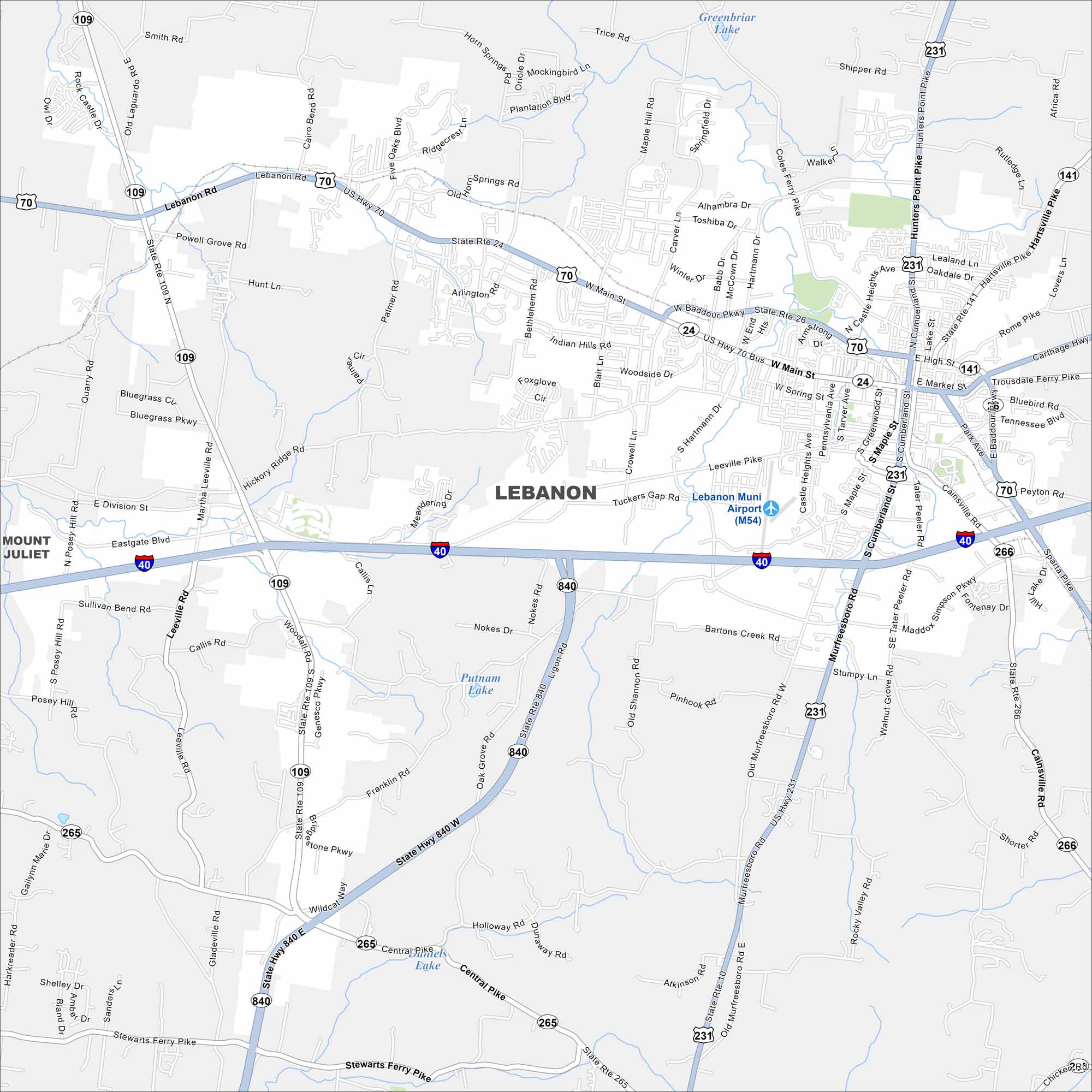
Lebanon sits east of Nashville, Tennessee. Our map displays its town square and street layout. The Cumberland River lies just beyond to the north.
Map Information
On the Map
Interstates/Highways: I-40, US Hwy 70, US Hwy 231, State Rte 24, State Rte 109, State Rte 141, State Rte 265, State Rte 266, State Hwy 840 Major Roads: Main St, Cumberland St, Baddour Pkwy, Hartmann Dr, Leeville Pike, Murfreesboro Rd, Sparta Pike, Castle Heights Ave, Maple St, Market St, High St, Tennessee Blvd, Hunters Point Pike, Coles Ferry Pike, Cairo Bend Rd, Lebanon Rd, Central Pike, Stewarts Ferry Pike, Bluegrass Pkwy, Hickory Ridge Rd Airports: Lebanon Muni Airport (M54) Lakes and Reservoirs: Greenbriar Lake, Putnam Lake, Daniels Lake Nearby Communities: Mount JulietTennessee State Maps
Here are our state maps of Tennessee.


City Maps of Tennessee
Explore our Tennessee map collection


