Map of Laguna Beach, California
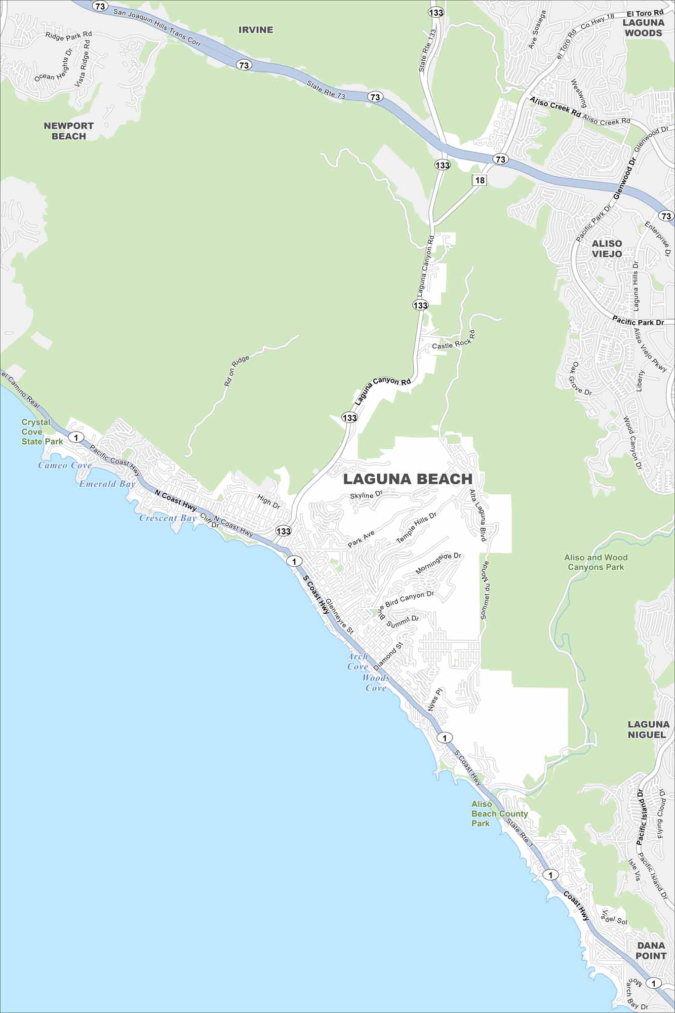
Our map of Laguna Beach follows the coastline of the Pacific Ocean. Canyons carve through the city, making winding streets. Beaches line the oceanfront.
California State Maps
Explore California with our state maps


Map Information
On the Map
Interstates/Highways: State Rte 73, State Rte 133, State Rte 1 Major Roads: Laguna Canyon Rd, Pacific Coast Hwy, Coast Hwy, El Toro Rd, Aliso Creek Rd, Glenwood Dr, Pacific Park Dr, Park Ave, Skyline Dr, Temple Hills Dr, Morningside Dr, Nyes Pl Lakes and Reservoirs: Pacific Ocean, Emerald Bay, Crescent Bay, Arch Cove, Woods Cove Parks and Preserves: Aliso and Wood Canyons Park, Aliso Beach County Park, Crystal Cove State Park Nearby Communities: Laguna Woods, Aliso Viejo, Laguna Niguel, Dana Point, Newport Beach, IrvineCalifornia City Maps
Here are detailed maps of California


