Map of La Puente, California
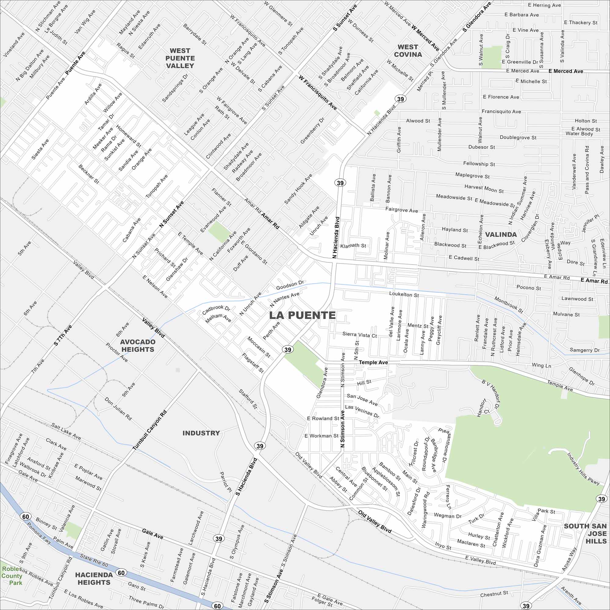
Our map shows La Puente nestled just east of Los Angeles. The city’s grid is tight, with schools and parks scattered throughout. It sits near the San Gabriel Mountains, giving a clear edge to the north.
California State Maps
Explore California with our state maps


Map Information
On the Map
Interstates/Highways: State Rte 60, State Rte 39 Major Roads: Hacienda Blvd, Valley Blvd, Amar Rd, Sunset Ave, Glendora Ave, Azusa Ave, Gale Ave, Stimson Ave, Workman Ave, Nelson Ave, Temple Ave, Rowland St, Old Valley Blvd, Francisquito Ave, Central Ave Nearby Communities: West Covina, Industry, Valinda, Avocado Heights, Hacienda Heights, West Puente Valley, South San Jose HillsCalifornia City Maps
Here are detailed maps of California


