Map of La Palma, California
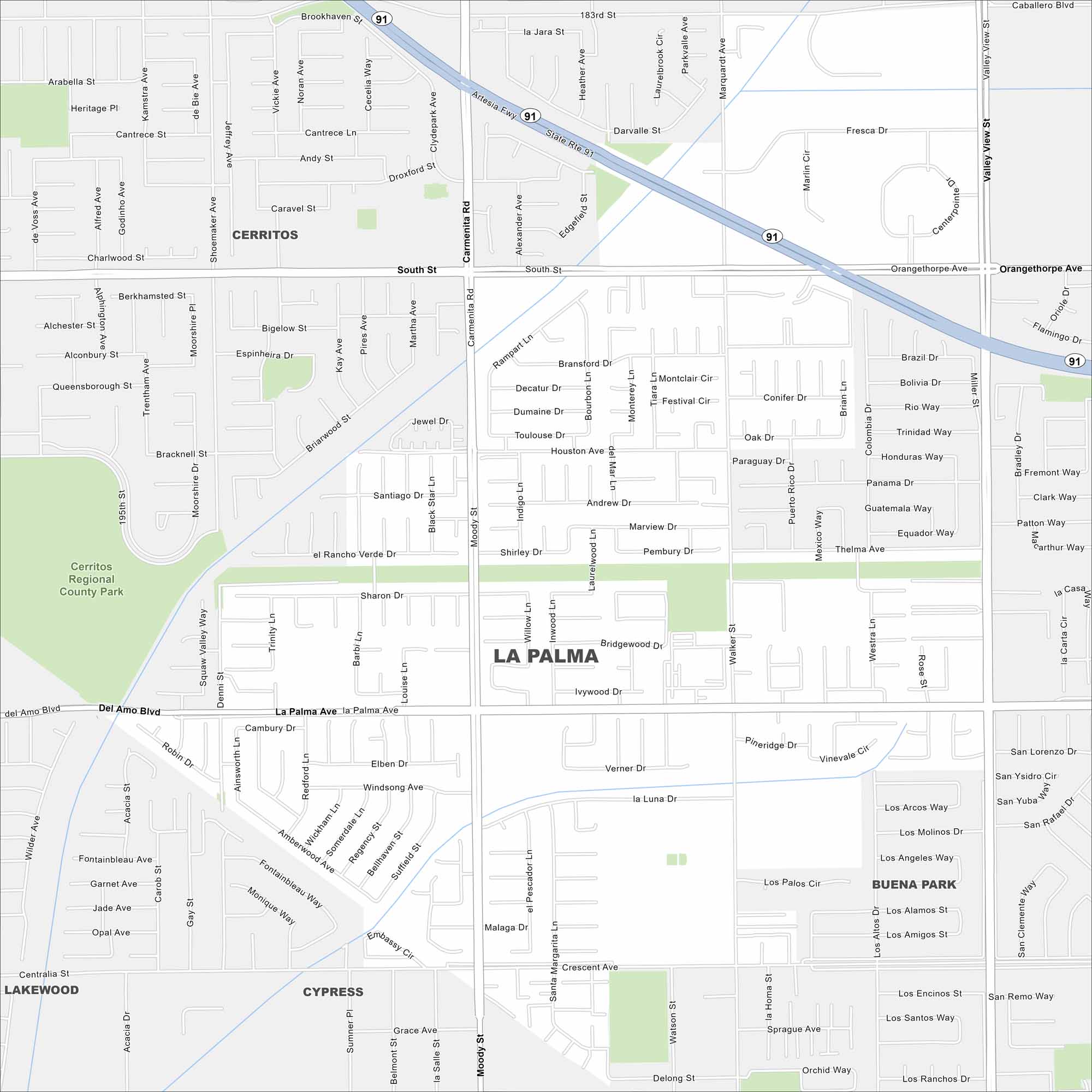
La Palma sits in northwest Orange County. Our map highlights a small, dense grid of neighborhoods. Freeways curve around the edges.
California State Maps
Explore California with our state maps


Map Information
On the Map
Interstates/Highways: State Rte 91 Major Roads: Valley View St, Moody St, Walker St, La Palma Ave, Orangethorpe Ave, South St, Del Amo Blvd, Centralia St, 183rd St, Carmenita Rd, Knott Ave, Denni St Parks and Preserves: Cerritos Regional County Park Nearby Communities: Cerritos, Buena Park, Cypress, LakewoodCalifornia City Maps
Here are detailed maps of California


