Map of La Mirada, California
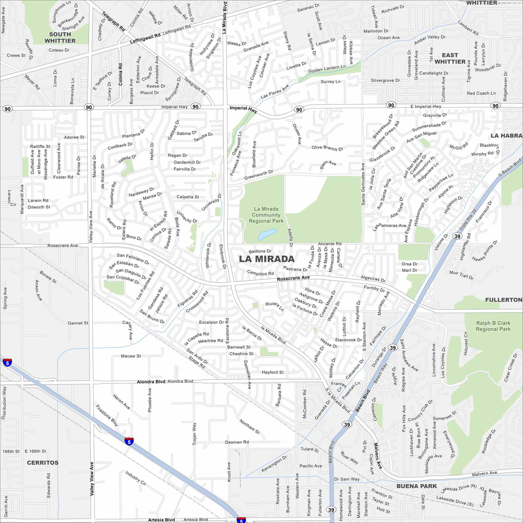
Our map of La Mirada shows its network of streets just north of the 5 Freeway. While schools and parks break up the layout, commercial areas line the main roads.
California State Maps
Explore California with our state maps


Map Information
On the Map
Interstates/Highways: I-5, State Rte 39 Major Roads: Rosecrans Ave, Alondra Blvd, Beach Blvd, La Mirada Blvd, Valley View Ave, Santa Gertrudes Ave, Biola Ave, Leffingwell Rd, Colima Rd, Telegraph Rd, Artesia Blvd, Stage Rd Parks and Preserves: La Mirada Community Regional Park, Ralph B Clark Regional Park Nearby Communities: South Whittier, East Whittier, Whittier, La Habra, Fullerton, Buena Park, CerritosCalifornia City Maps
Here are detailed maps of California


