Map of La Habra, California
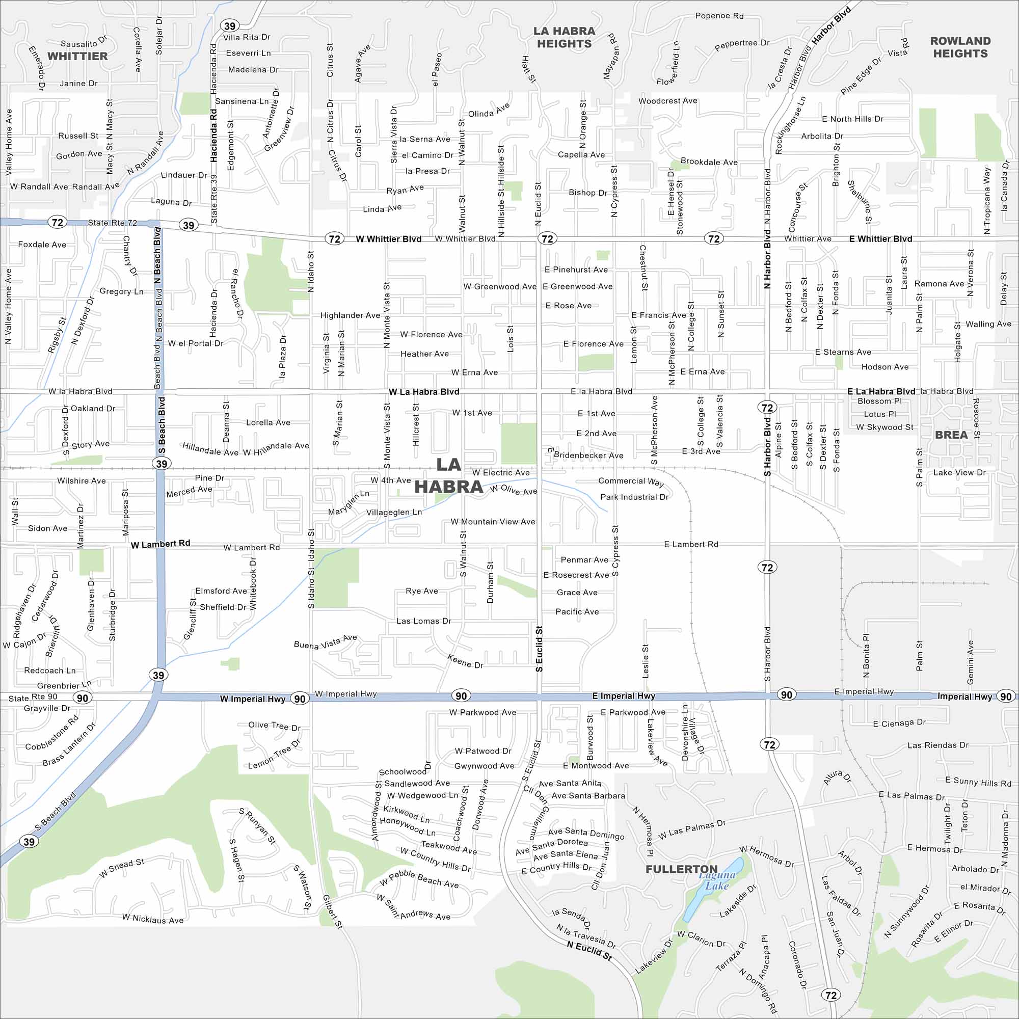
Explore La Habra in northwest Orange County. Our map shows neighborhoods laid out in a tight grid. Freeways border the city to the south and west.
California State Maps
Explore California with our state maps


Map Information
On the Map
Interstates/Highways: State Rte 39, State Rte 72, State Rte 90 Major Roads: Whittier Blvd, Imperial Hwy, Beach Blvd, Harbor Blvd, Hacienda Rd, Lambert Rd, La Habra Blvd, Euclid St, Idaho St, Walnut St, Cypress St, Harbor Blvd, Palm St, Central Ave, Hiatt St, Brea Blvd, Puente St, Rosecrans Ave, Valley Home Ave Lakes and Reservoirs: Laguna Lake Nearby Communities: Whittier, La Habra Heights, Rowland Heights, Brea, FullertonCalifornia City Maps
Here are detailed maps of California


