Map of Kearny, New Jersey
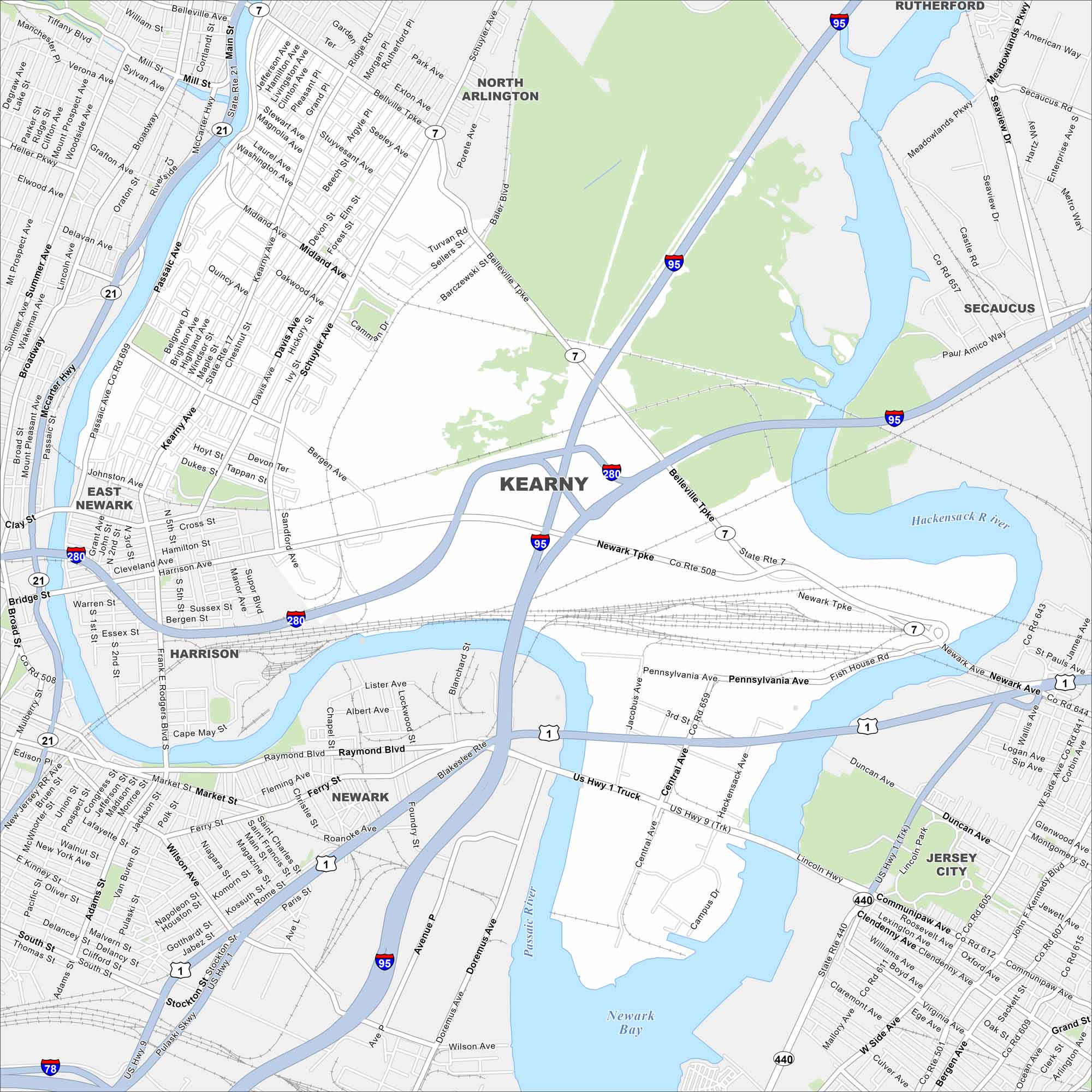
Kearny lies between the Passaic and Hackensack Rivers. Our map shows industry and neighborhoods side by side. Major highways link it directly to Newark and New York City.
Map Information
On the Map
Interstates/Highways: I-95, I-280, US Hwy 1, US Hwy 9, US Rte 1/9, State Rte 7, State Rte 21, State Rte 508 Major Roads: Kearny Ave, Passaic Ave, Belleville Tpke, Schuyler Ave, Harrison Ave, Raymond Blvd, McCarter Hwy, Newark Tpke, Fish House Rd, Pennsylvania Ave, Central Ave, Doremus Ave, Pulaski Skwy, Midland Ave, Bergen Ave, Davis Ave, Elm St, Forest St, Grant Ave, Johnston Ave Lakes and Reservoirs: Newark Bay Major Rivers: Passaic River, Hackensack River Nearby Communities: North Arlington, Rutherford, Secaucus, Jersey City, Newark, Harrison, East NewarkNew Jersey State Maps
Explore maps from the Garden State.


City Maps of New Jersey
Newark and New Jersey cities in complete detail


