Home » State Maps » Map of Iowa

Map of Iowa

Iowa Map

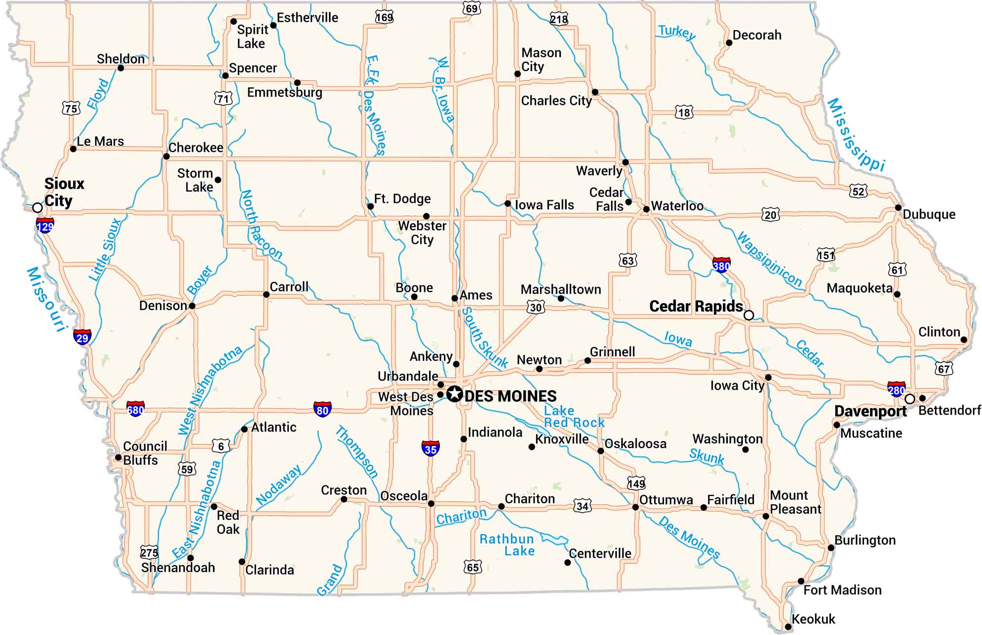
Our Iowa map shows its lakes, rivers, highways, cities and quiet towns. You’ll see Des Moines at the center of it all, with highways branching out. Lakes and rivers break up the fields. The state is calm, steady, and full of heart.
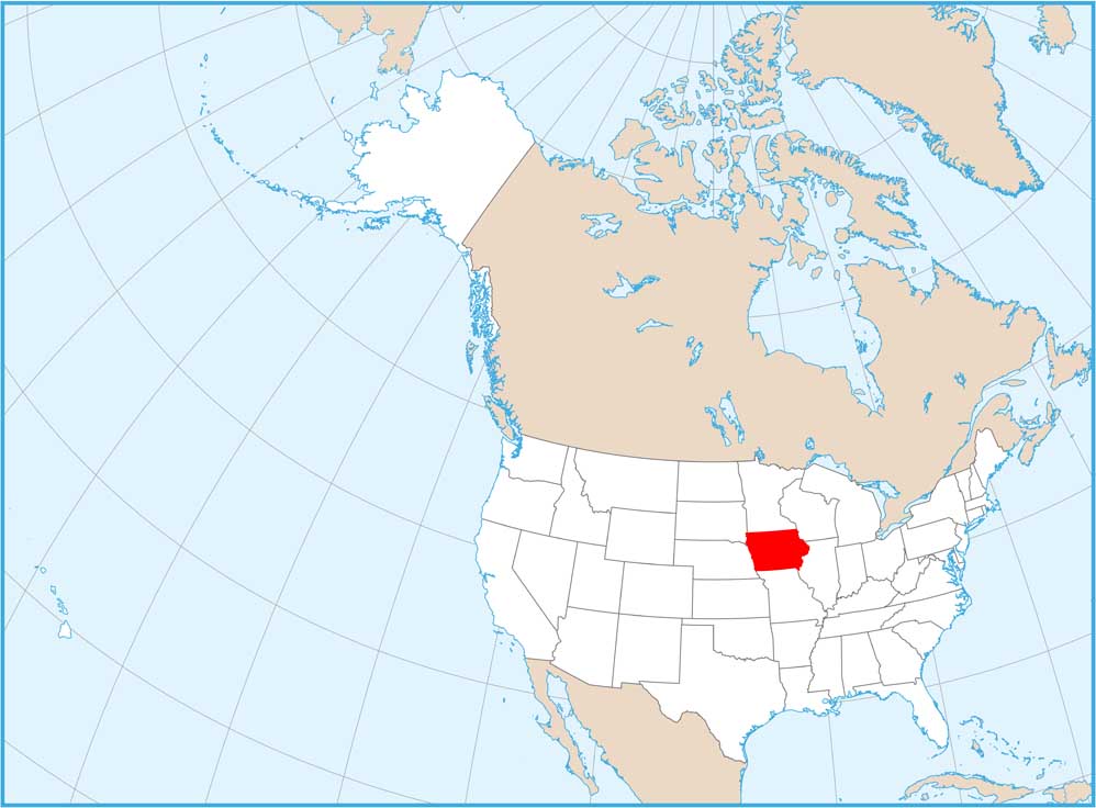
Map Information

  • State of Iowa
  • Road Map of Iowa
  • Free for personal and commercial purpose. Attribution is required. How to attribute?

On the Map

Iowa Location Map
State Capital: Des Moines Major Cities: Cedar Rapids, Davenport, Sioux City, Waterloo Cities and Towns: Ames, Ankeny, Atlantic, Bettendorf, Boone, Burlington, Carroll, Centerville, Chariton, Charles City, Cherokee, Clarinda, Clinton, Council Bluffs, Creston, Dubuque, Emmetsburg, Estherville, Fairfield, Fort Dodge, Fort Madison, Grinnell, Indianola, Iowa City, Iowa Falls, Keokuk, Knoxville, Le Mars, Marshalltown, Mason City, Mount Pleasant, Muscatine, Osceola, Oskaloosa, Ottumwa, Red Oak, Sheldon, Shenandoah, Spencer, Spirit Lake, Storm Lake, Urbandale, Washington, Waverly, Webster City Interstate Highways: I-29, I-35, I-80, I-129, I-280, I-380, I-680 US Routes: US-6, US-18, US-20, US-30, US-34, US-52, US-59, US-61, US-63, US-65, US-67, US-69, US-71, US-75, US-149, US-151, US-169, US-218, US-275 Lakes and Reservoirs: Lake Red Rock, Rathbun Lake, Spirit Lake Rivers and Streams: Boyer River, Cedar River, Chariton River, Des Moines River, East Nishnabotna River, Floyd River, Iowa River, Little Sioux River, Mississippi River, Missouri River, Nodaway River, North Raccoon River, Skunk River, South Skunk River, Thompson River, Turkey River, Wapsipinicon River, West Nishnabotna River

Iowa City Maps

Browse city maps in the state of Iowa

References

  1. Iowa.gov – Government Website of Indiana
  2. Iowa in Google Maps

Leave a Reply

Your email address will not be published. Required fields are marked *