Map of Inglewood, California
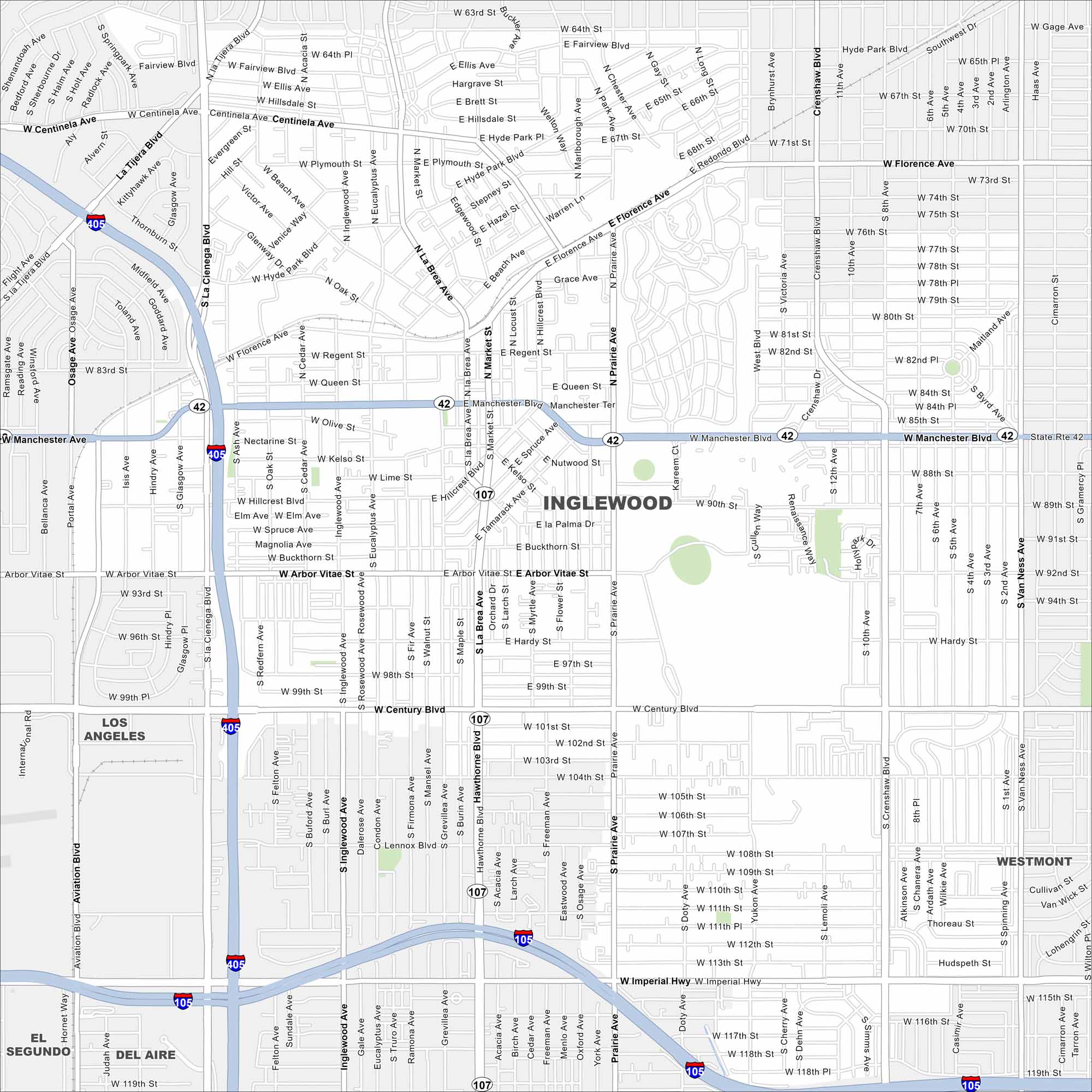
Get to know Inglewood near the heart of Los Angeles. Major boulevards slice through busy neighborhoods, including I-105 and I-405. SoFi Stadium is a stand out, home of the Los Angeles Rams and Chargers NFL teams.
California State Maps
Explore California with our state maps


Map Information
On the Map
Interstates/Highways: I-405, I-105 Major Roads: Manchester Blvd, Century Blvd, Imperial Hwy, Florence Ave, La Cienega Blvd, La Brea Ave, Prairie Ave, Crenshaw Blvd, Hawthorne Blvd, Van Ness Ave, Aviation Blvd, Inglewood Ave, Centinela Ave, Arbor Vitae St Nearby Communities: Los Angeles, Westmont, Del Aire, El SegundoCalifornia City Maps
Here are detailed maps of California


