Map of Indio, California
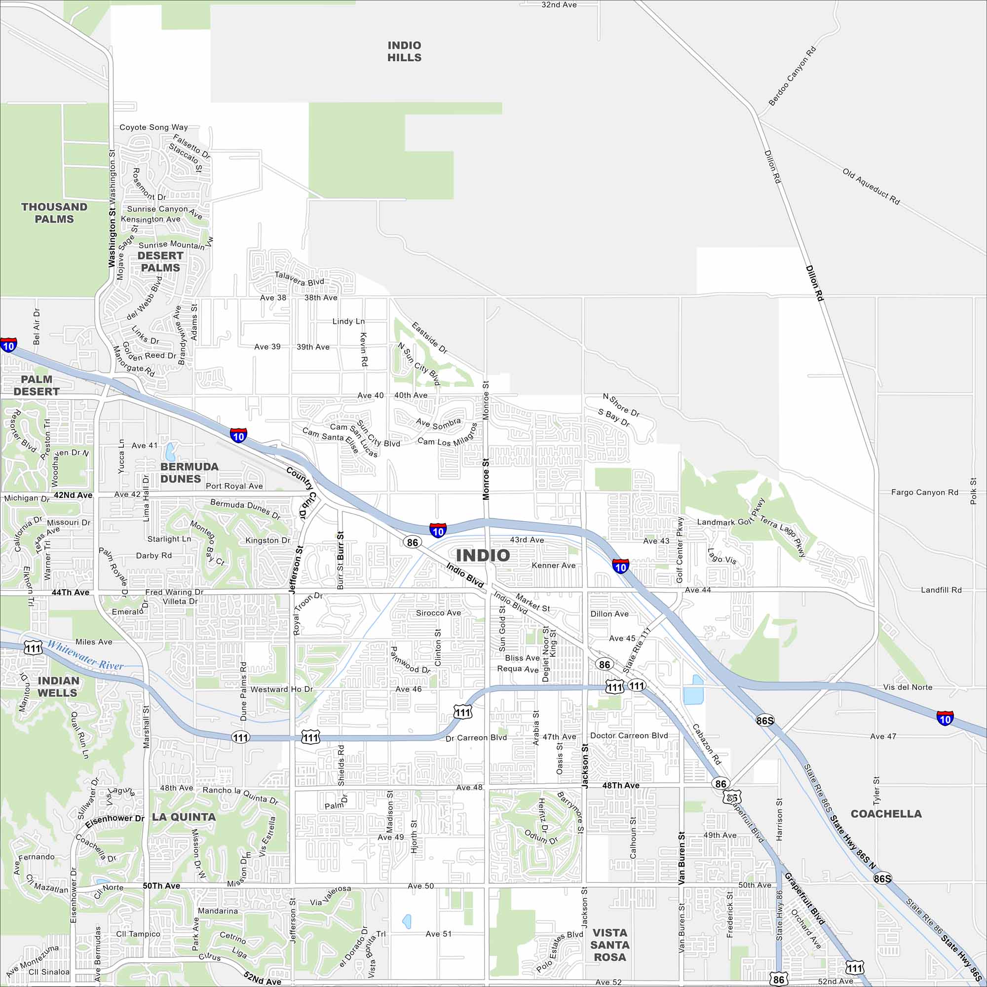
Indio is situated in the Coachella Valley. Our map shows desert neighborhoods that spread along I-10. Parks, ponds and roads are easy to spot.
California State Maps
Explore California with our state maps


Map Information
On the Map
Interstates/Highways: I-10, State Rte 111, State Rte 86 Major Roads: Indio Blvd, Monroe St, Jefferson St, Washington St, Jackson St, Van Buren St, Fred Waring Dr, Miles Ave, Dr Carreon Blvd, Ave 42, Ave 48, Ave 52, Grapefruit Blvd Major Rivers: Whitewater River Nearby Communities: Indio Hills, Thousand Palms, Desert Palms, Bermuda Dunes, Palm Desert, Indian Wells, La Quinta, Vista Santa Rosa, CoachellaCalifornia City Maps
Here are detailed maps of California


