Map of Hollister, California
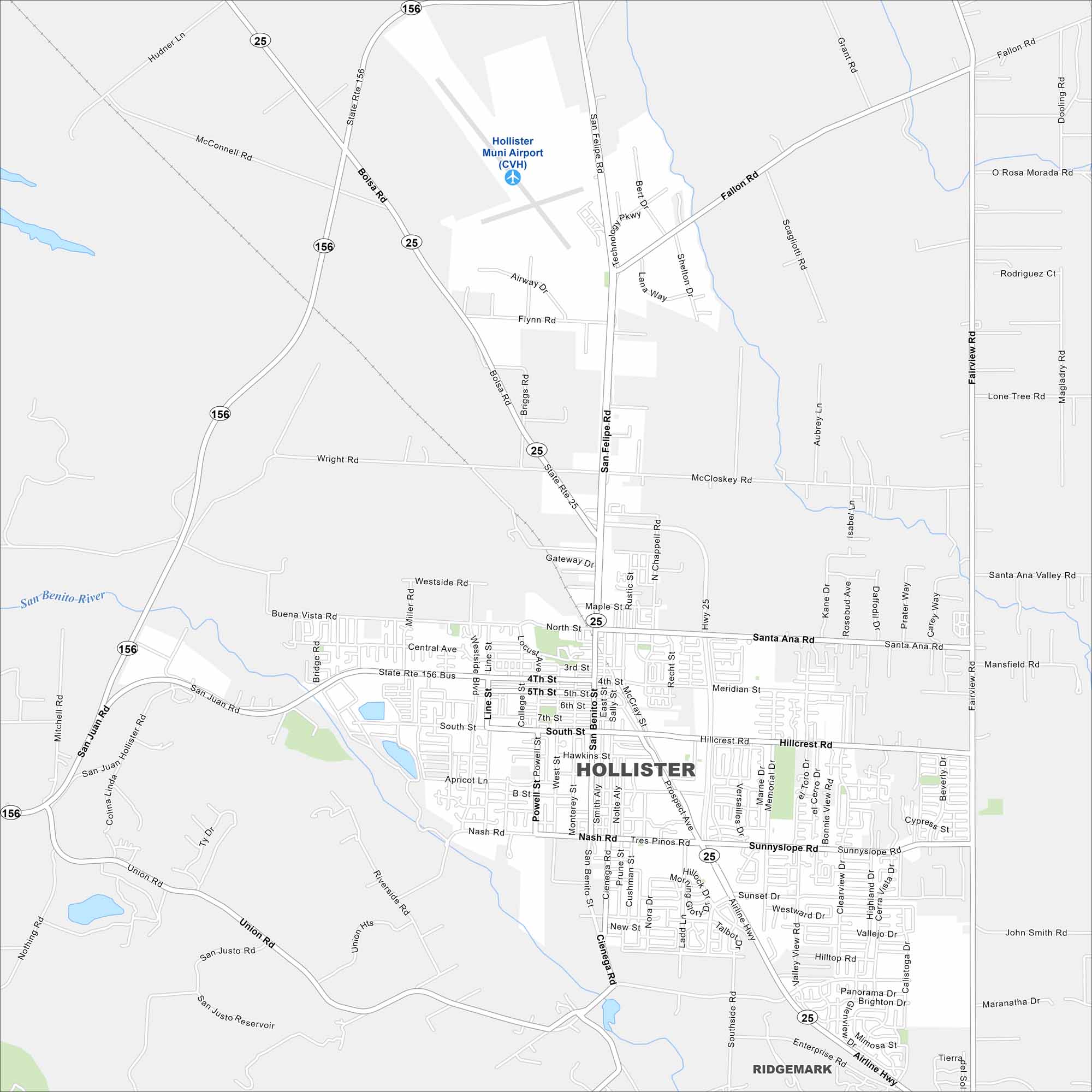
Our map of Hollister shows a grid of streets surrounded by farmland. The city sits in a valley ringed by low mountains. It’s part of central California’s agricultural region.
California State Maps
Explore California with our state maps


Map Information
On the Map
Interstates/Highways: State Rte 25, State Rte 156, State Rte 156 Bus Major Roads: San Felipe Rd, San Juan Rd, Union Rd, Airline Hwy, Wright Rd, McCloskey Rd, Santa Ana Rd, Meridian St, Hillcrest Rd, Nash Rd, Fairview Rd, Bolsa Rd, Briggs Rd, Sunnyslope Rd, Memorial Dr, Westside Blvd, Powell St, San Benito St, McCray St, Tres Pinos Rd Airports: Hollister Muni Airport (CVH) Major Rivers: San Benito River Nearby Communities: RidgemarkCalifornia City Maps
Here are detailed maps of California


