Map of Hoboken, New Jersey
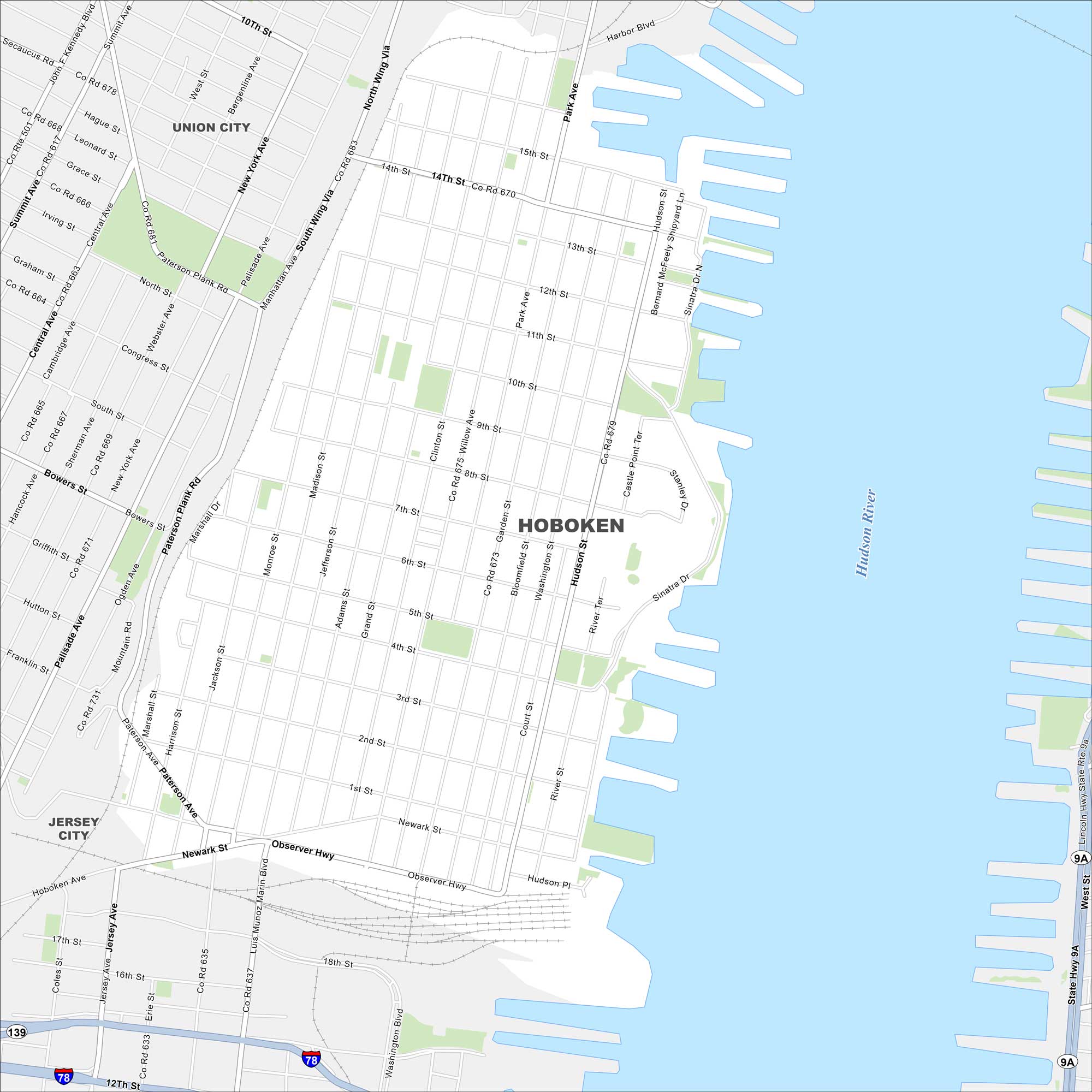
Hoboken is located on the west bank of the Hudson River across from Manhattan. Our map shows a tight street grid leading to the waterfront. It’s often called the “birthplace of baseball” because the first recorded game was played here.
Map Information
On the Map
Interstates/Highways: I-78, US Rte 9, State Hwy 9A Major Roads: Washington St, Hudson St, Garden St, Willow Ave, Park Ave, Clinton St, Grand St, Adams St, Jefferson St, Madison St, Monroe St, Jackson St, Harrison St, Observer Hwy, Newark St, 14th St, 11th St, 1st St, River Ter, Sinatra Dr Major Rivers: Hudson River Nearby Communities: Union City, Jersey CityNew Jersey State Maps
Explore maps from the Garden State.


City Maps of New Jersey
Newark and New Jersey cities in complete detail


