Map of Hemet, California
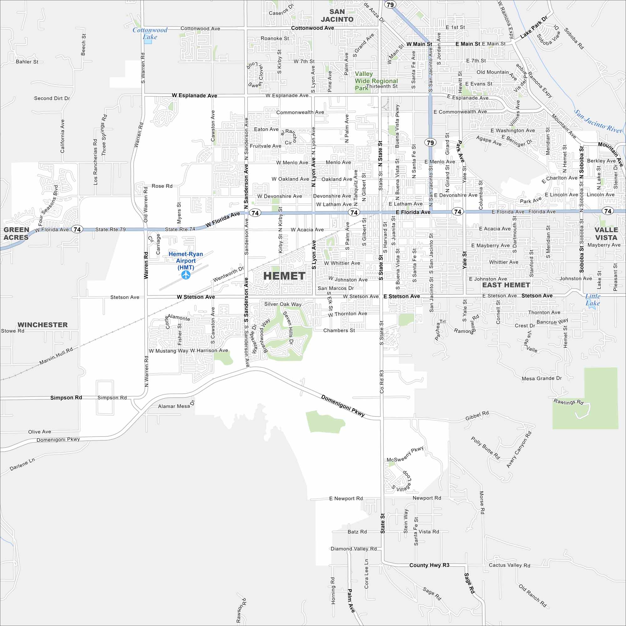
Hemet sits in Southern California’s Inland Empire. Our map shows the city surrounded by dry hills and valleys. Meanwhile, State Route 74 connects it toward Palm Springs and the coast.
California State Maps
Explore California with our state maps


Map Information
On the Map
Interstates/Highways: State Rte 74, State Rte 79 Major Roads: Florida Ave, State St, San Jacinto Ave, Sanderson Ave, Stetson Ave, Domenigoni Pkwy, Esplanade Ave, Commonwealth Ave, Menlo Ave, Devonshire Ave, Latham Ave, Acacia Ave, Whittier Ave, Johnston Ave, Thornton Ave, Simpson Rd, Warren Rd, Lyon Ave, Cawston Ave, Harvard St Airports: Hemet-Ryan Airport (HMT) Lakes and Reservoirs: Cottonwood Lake, Little Lake, Diamond Valley Lake Major Rivers: San Jacinto River Parks and Preserves: Valley Wide Regional Park Nearby Communities: San Jacinto, East Hemet, Valle Vista, Winchester, Green AcresCalifornia City Maps
Here are detailed maps of California


