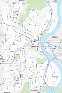
Map of Hartford, Connecticut

Hartford sits along the Connecticut River in the north-central part of the state. On our map, you’ll notice the city’s grid cut by the highway loops. This is the home of the former NHL Hartford Whalers until they left in 1997.
Connecticut State Maps
Here’s your getaway to Connecticut geography


Map Information
On the Map
Interstates/Highways: I-84, I-91, US Hwy 44, US Hwy 5, US Hwy 6, State Rte 2, State Rte 15, State Rte 99, State Rte 187, State Rte 159 Major Roads: Main St, Albany Ave, Farmington Ave, Asylum Ave, Capitol Ave, Park St, Wethersfield Ave, Maple Ave, Blue Hills Ave, New Britain Ave, Sisson Ave, Bloomfield Ave, Franklin Ave, Windsor St, Market St, Broad St, Washington St, Sigourney St, Woodland St, Westland St Airports: Hartford-Brainard Airport (HFD) Lakes and Reservoirs: Keney Park Pond Major Rivers: Connecticut River, South Branch Park River, Hockanum River Parks and Preserves: Windsor Meadows State Park Nearby Communities: East Hartford, West Hartford, Wethersfield, Newington, Blue HillsConnecticut City Maps
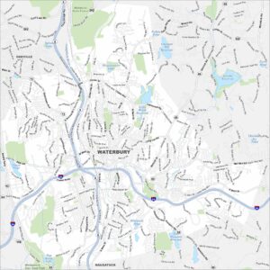
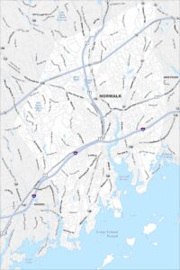
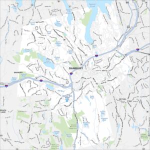
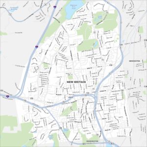
Browse Hartford and Connecticut’s city centers