Map of Half Moon Bay, California
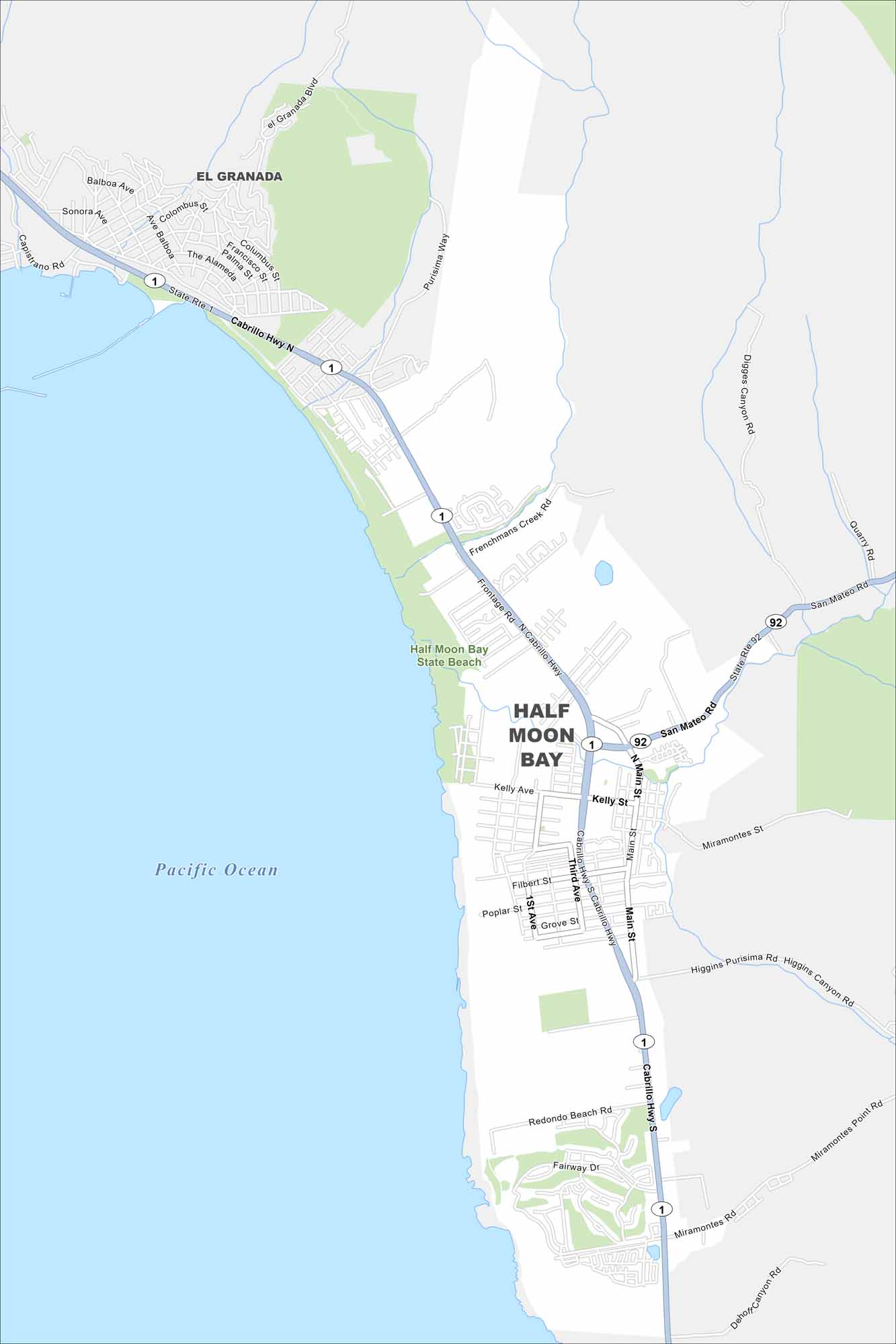
Half Moon Bay is a coastal city south of San Francisco. This map highlights its long stretch of beaches. Hills and farmland press in from the east.
California State Maps
Explore California with our state maps


Map Information
On the Map
Interstates/Highways: State Rte 1, State Rte 92, Cabrillo Hwy Major Roads: San Mateo Rd, Main St, Kelly Ave, Miramontes St, Higgins Purisima Rd, Frenchman’s Creek Rd, Balboa Ave, Coronado St, Filbert St, Poplar St, 1st Ave, 3rd Ave, Redondo Beach Rd, Miramontes Point Rd, Dehoff Canyon Rd, Digges Canyon Rd, Quarry Rd, Purisima Way, El Granada Blvd Lakes and Reservoirs: Pacific Ocean Parks and Preserves: Half Moon Bay State Beach Nearby Communities: El GranadaCalifornia City Maps
Here are detailed maps of California


