Map of Haddonfield Borough, New Jersey
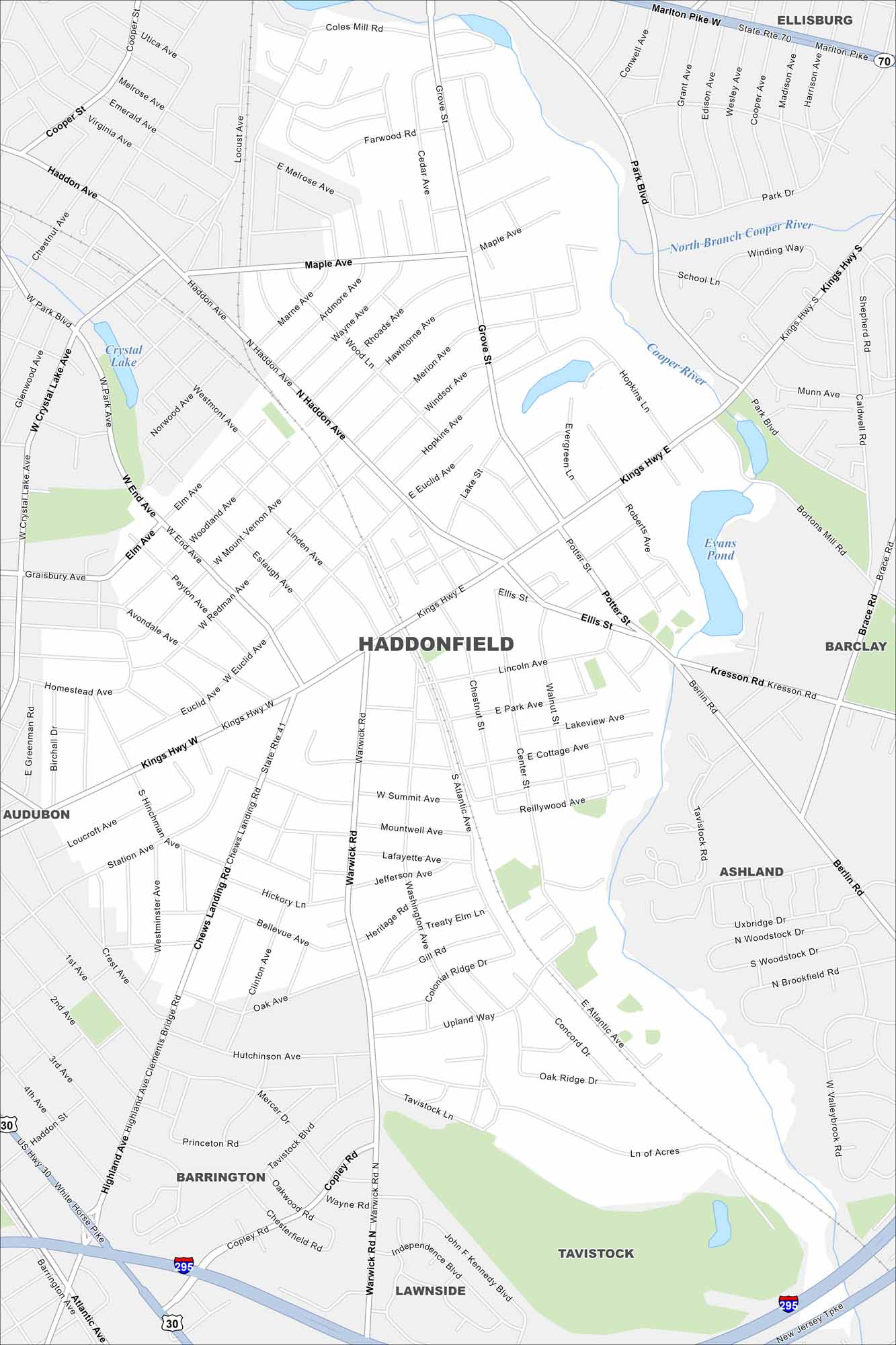
Haddonfield is just across the Delaware River from Philadelphia. This map shows a small, tight street grid. Rail lines and nearby highways connect it to the metro area.
Map Information
On the Map
Interstates/Highways: I-295, US Hwy 30, State Rte 41, State Rte 70, Kings Hwy Major Roads: Haddon Ave, Grove St, Warwick Rd, Chews Landing Rd, Atlantic Ave, Washington Ave, Ellis St, Kresson Rd, Berlin Rd, Potter St, Highland Ave, Westmont Ave, Mount Vernon Ave, Euclid Ave, Summit Ave, Central Ave, Center St, Concord Dr, Tavistock Blvd Lakes and Reservoirs: Evans Pond, Crystal Lake Major Rivers: Cooper River, North Branch Cooper River Nearby Communities: Ellisburg, Barclay, Ashland, Tavistock, Lawnside, Barrington, AudubonNew Jersey State Maps
Explore maps from the Garden State.


City Maps of New Jersey
Newark and New Jersey cities in complete detail


