Map of Glendora, California
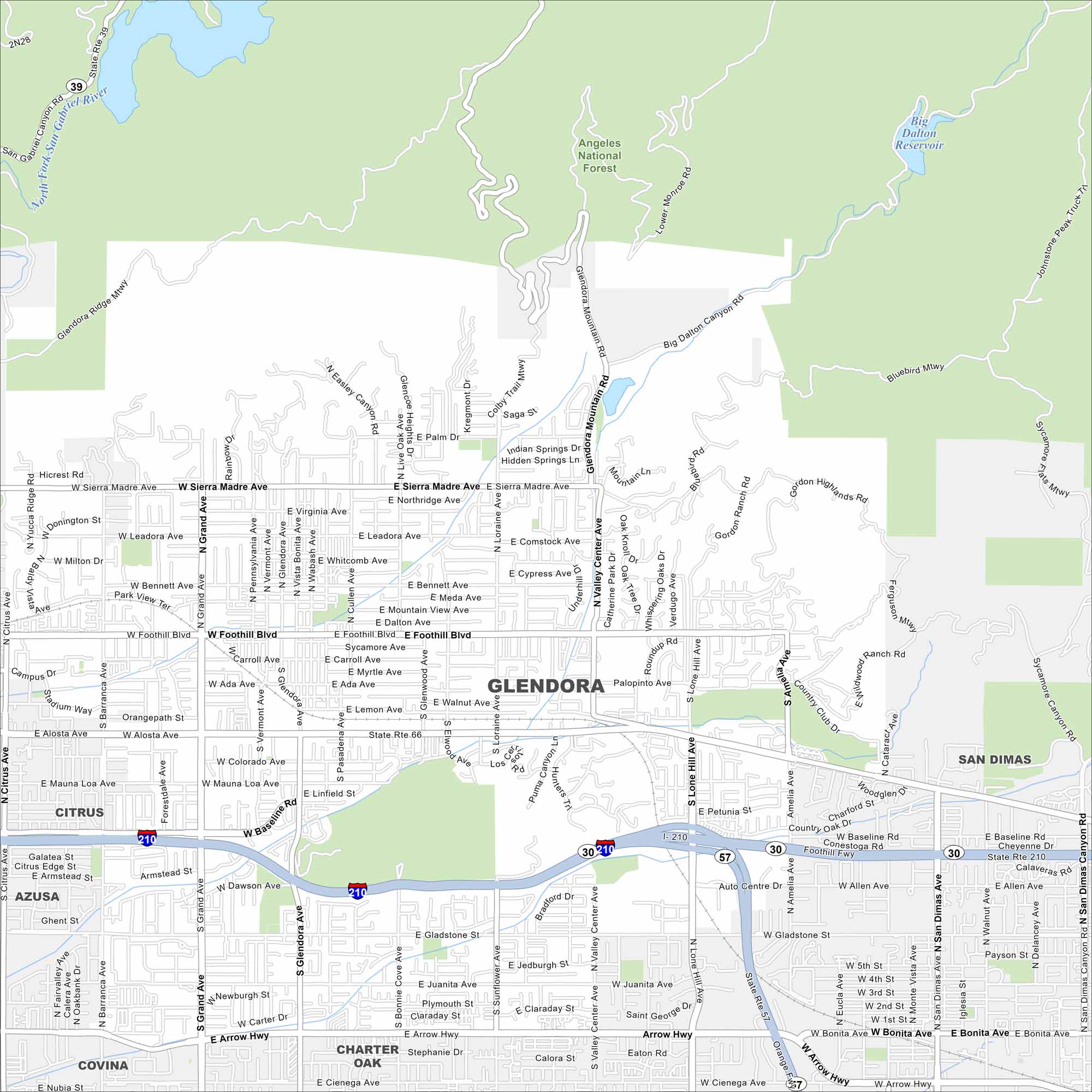
Check out our map of Glendora, California. This city spreads all the way toward the San Gabriel Mountains. It’s often called the “Pride of the Foothills” because of its mountainous backdrop.
California State Maps
Explore California with our state maps


Map Information
On the Map
Interstates/Highways: I-210, State Rte 30, State Rte 39, State Rte 57, State Rte 66, State Rte 210 Major Roads: Foothill Blvd, Alosta Ave, Route 66, Grand Ave, Glendora Ave, Valley Center Ave, Barranca Ave, Lone Hill Ave, Sierra Madre Ave, Arrow Hwy, Gladstone St, Baseline Rd, Bennett Ave, Mauna Loa Ave, Colorado Blvd, Juanita Ave, Cienega Ave, Amelia Ave, San Dimas Canyon Rd, Glendora Mountain Rd Lakes and Reservoirs: Big Dalton Reservoir Major Rivers: San Gabriel River Parks and Preserves: Angeles National Forest Nearby Communities: Azusa, Citrus, Covina, Charter Oak, San DimasCalifornia City Maps
Here are detailed maps of California


