Map of Gilroy, California
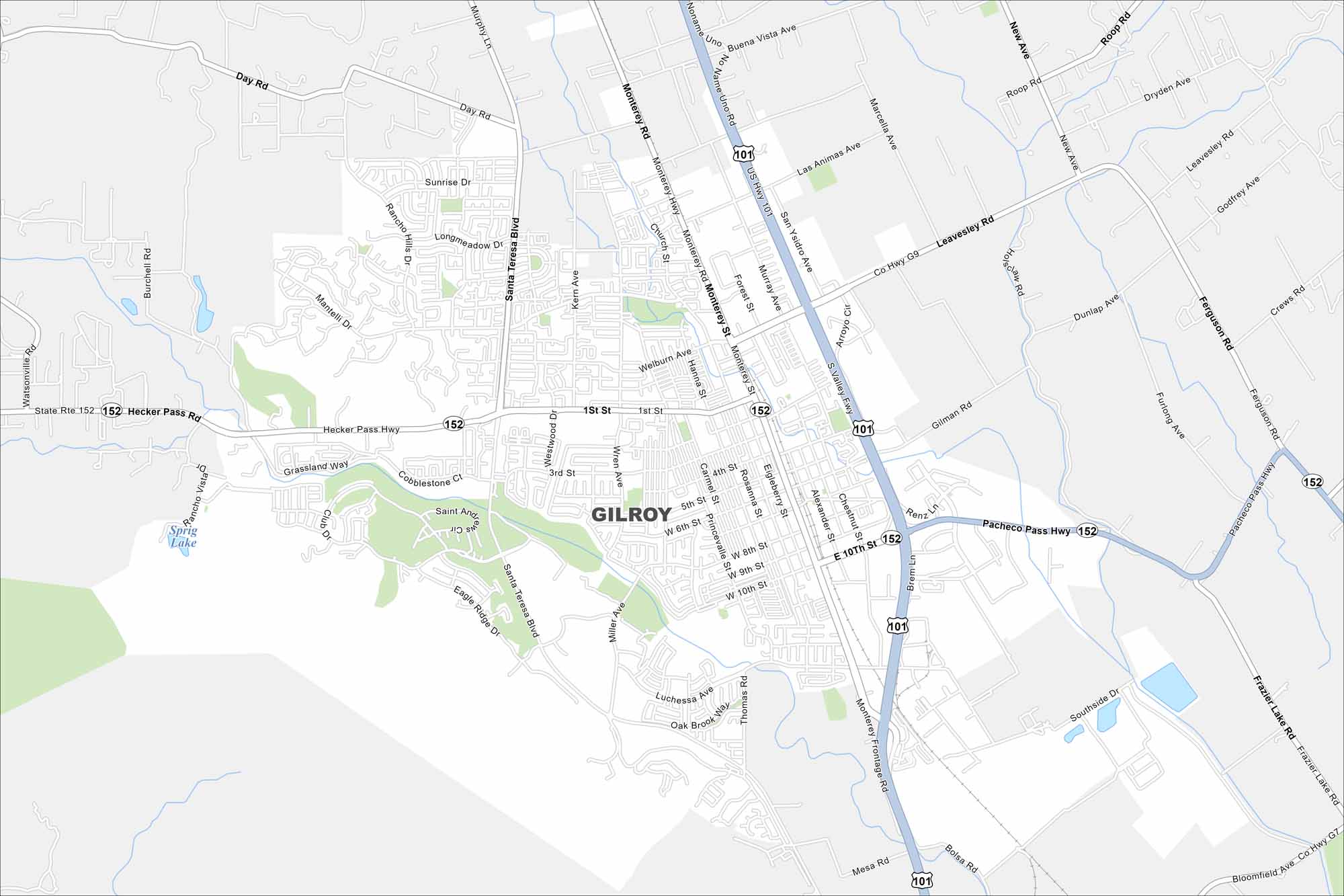
Explore our map of Gilroy, California. The city is called the “Garlic Capital of the World” because of its famous crop. Fields and orchards border the town.
California State Maps
Explore California with our state maps


Map Information
On the Map
Interstates/Highways: US Hwy 101, State Rte 152 Major Roads: Pacheco Pass Hwy, Hecker Pass Hwy, Monterey Rd, 10th St, 1st St, Santa Teresa Blvd, Leavesley Rd, Monterey Hwy, Gilman Rd, Luchessa Ave, Welburn Ave, 6th St, Miller Ave, Eigleberry St, Rosanna St, Hanna St, Forest St, Murray Ave, San Ysidro Ave, Bolsa Rd Lakes and Reservoirs: Sprig LakeCalifornia City Maps
Here are detailed maps of California


