Map of Gardena, California
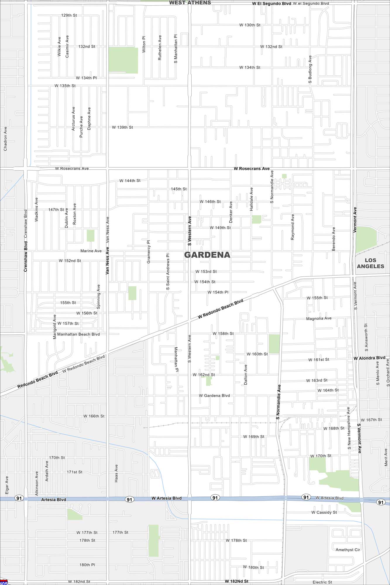
Follow the streets, highways, and streams with our map of Gardena, California. The city lies just south of downtown Los Angeles.
California State Maps
Explore California with our state maps


Map Information
On the Map
Interstates/Highways: State Rte 91 Major Roads: Artesia Blvd, Rosecrans Ave, Redondo Beach Blvd, Western Ave, Vermont Ave, Gardena Blvd, Crenshaw Blvd, Normandie Ave, Marine Ave, Alondra Blvd, 135th St, 132nd St, 139th St, 182nd St, 190th St, Van Ness Ave, Denker Ave, Halldale Ave, Budlong Ave, Raymond Ave Nearby Communities: West Athens, Los AngelesCalifornia City Maps
Here are detailed maps of California


