Map of Garden Grove, California
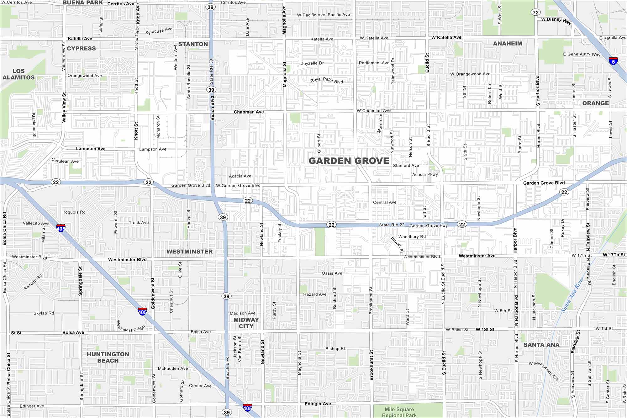
Garden Grove is in northern Orange County, just south of Anaheim. Our map shows dense neighborhoods mixed with major roads like Garden Grove Freeway.
California State Maps
Explore California with our state maps


Map Information
On the Map
Interstates/Highways: State Rte 22, State Rte 39 Major Roads: Garden Grove Fwy, Beach Blvd, Garden Grove Blvd, Chapman Ave, Katella Ave, Westminster Blvd, Harbor Blvd, Brookhurst St, Euclid St, Magnolia St, Knott St, Bolsa Ave, Trask Ave, Lampson Ave, Orangewood Ave, Cerritos Ave, Valley View St, Fairview St, Newhope St, 17th St Major Rivers: Santa Ana River Parks and Preserves: Mile Square Regional Park Nearby Communities: Stanton, Anaheim, Orange, Santa Ana, Midway City, Westminster, Cypress, Buena Park, Los Alamitos, Huntington BeachCalifornia City Maps
Here are detailed maps of California


