Map of Fullerton, California
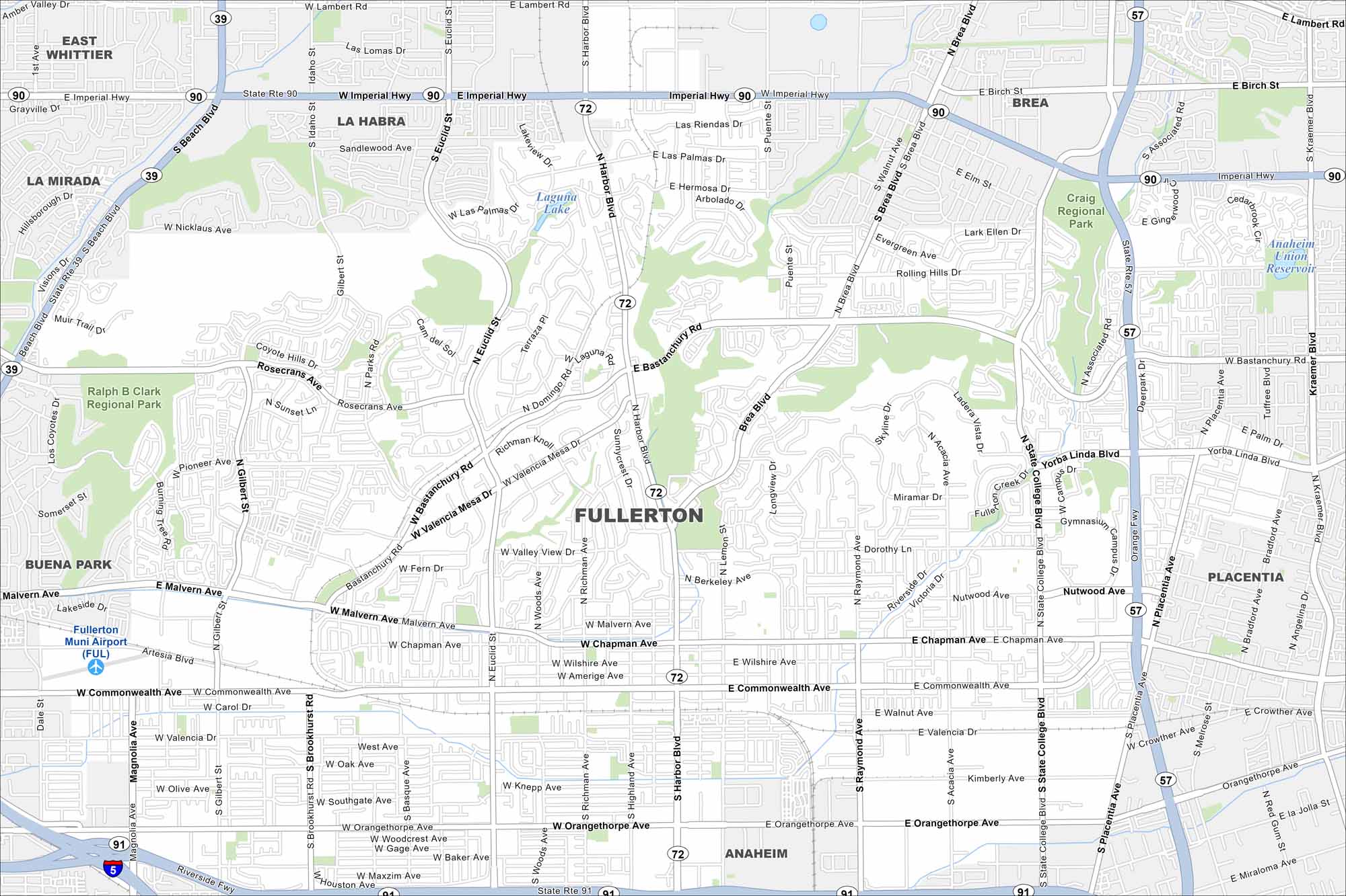
Fullerton is in northern Orange County, near Anaheim. Our map highlights freeways, rail lines, and city parks. Hills rise along its northern edge.
California State Maps
Explore California with our state maps


Map Information
On the Map
Interstates/Highways: State Rte 91, State Rte 90, State Rte 57, State Rte 39, State Rte 72, Imperial Hwy, Riverside Fwy, Orange Fwy Major Roads: Harbor Blvd, Beach Blvd, Commonwealth Ave, Chapman Ave, Malvern Ave, Bastanchury Rd, Orangethorpe Ave, Brookhurst St, Gilbert St, Euclid St, Brea Blvd, State College Blvd, Placentia Ave, Rosecrans Ave, Walnut Ave, Valencia Dr, Amerige Ave Airports: Fullerton Muni Airport (FUL) Lakes and Reservoirs: Laguna Lake, Anaheim Union Reservoir Parks and Preserves: Craig Regional Park, Ralph B Clark Regional Park Nearby Communities: La Habra, Brea, Placentia, Anaheim, Buena Park, La Mirada, East WhittierCalifornia City Maps
Here are detailed maps of California


