Map of Exeter, California
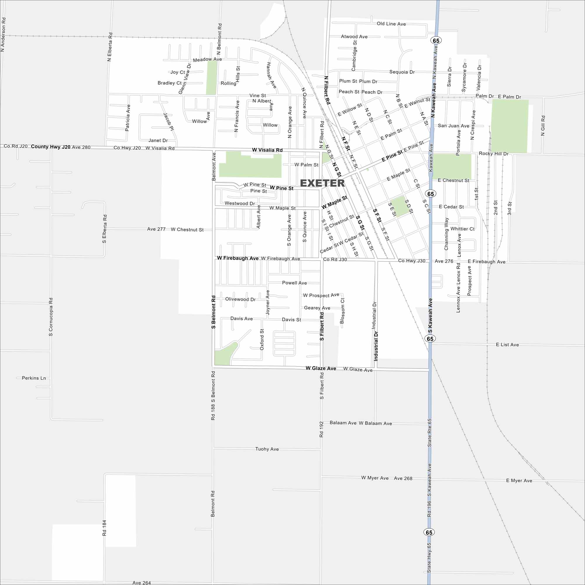
Exeter is in California’s Central Valley, just east of Visalia. The Sierra Nevada foothills rise not far away. On the map, you’ll find its main routes, railways and parks.
California State Maps
Explore California with our state maps


Map Information
On the Map
Interstates/Highways: State Rte 65 Major Roads: Visalia Rd, Kaweah Ave, Firebaugh Ave, Chestnut St, Pine St, Maple St, Palm St, Glaze Ave, Belmont Rd, Filbert Rd, Industrial Dr, Orange Ave, Quince Ave, Spruce Ave, Cedar St, Walnut St, Myer Ave, Balaam Ave, Powell Ave, Sequoia DrCalifornia City Maps
Here are detailed maps of California


