Map of Englewood, New Jersey
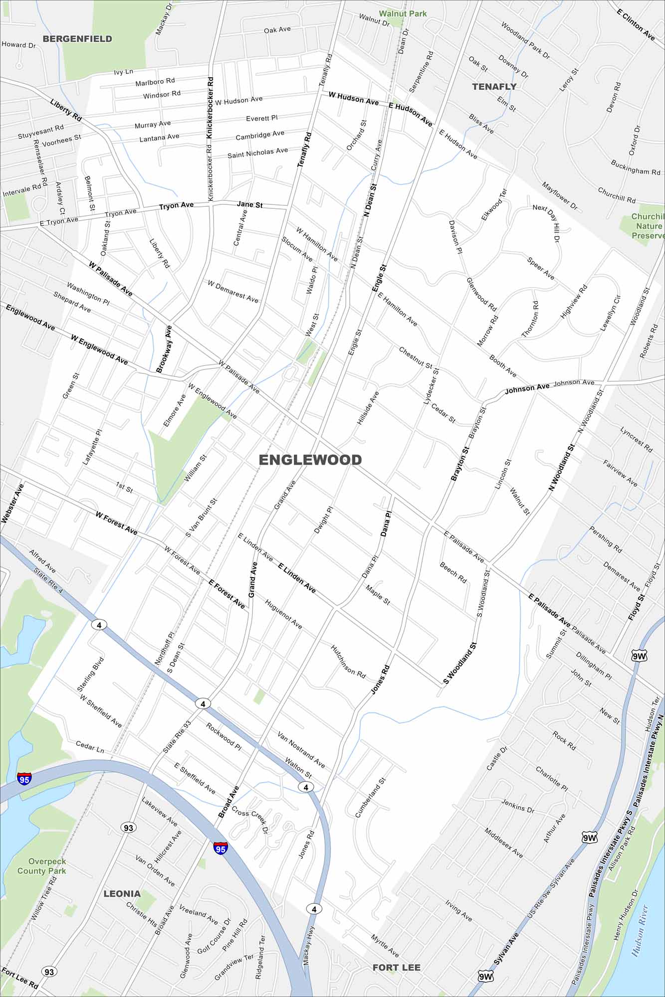
Our map of Englewood shows it just west of the Hudson River. It’s nestled against the Palisades cliffs with steep terrain at the eastern edge.
Map Information
On the Map
Interstates/Highways: I-95, I-80, State Rte 4, State Rte 93, US Rte 9w, US Hwy 1, US Hwy 9 Major Roads: Palisade Ave, Englewood Ave, Grand Ave, Dean St, Tenafly Rd, Knickerbocker Rd, Broad Ave, Dana Pl, Lydecker St, Woodland St, Pershing Rd, Liberty Rd, Tryon Ave, Forest Ave, Sheffield Ave, Van Nostrand Ave, Sylvan Ave, Jones Rd, Lafayette Pl, William St Major Rivers: Hudson River Parks and Preserves: Churchill Nature Preserve, Overpeck County Park, Walnut Park Nearby Communities: Bergenfield, Tenafly, Leonia, Fort LeeNew Jersey State Maps
Explore maps from the Garden State.


City Maps of New Jersey
Newark and New Jersey cities in complete detail


