Map of Elk Grove, California
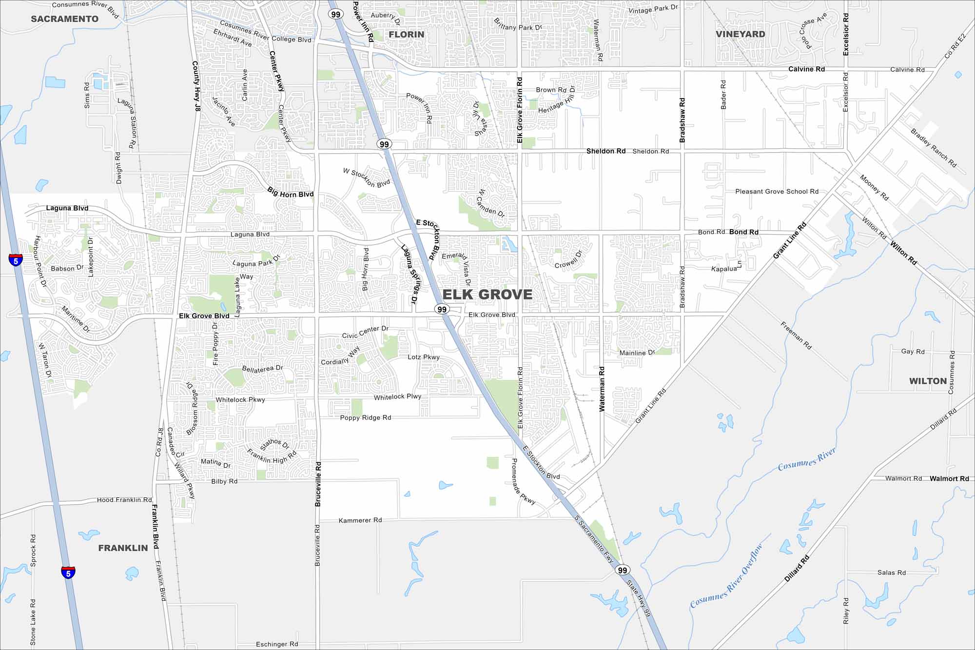
Elk Grove lies just south of Sacramento, with Laguna Creek and other waterways cutting through. It’s now one of California’s fastest-growing cities, thanks to its location near the capital.
California State Maps
Explore California with our state maps


Map Information
On the Map
Interstates/Highways: I-5, State Rte 99 Major Roads: Elk Grove Blvd, Laguna Blvd, Bond Rd, Sheldon Rd, Calvine Rd, Bruceville Rd, Whitelock Pkwy, Waterman Rd, Bradshaw Rd, Grant Line Rd, Big Horn Blvd, Stockton Blvd, Franklin Blvd, Bilby Rd, Kammerer Rd, Wilton Rd, Promenade Pkwy, Heritage Hill Dr, Civic Center Dr, Lotz Pkwy Lakes and Reservoirs: Laguna Lake Major Rivers: Cosumnes River Nearby Communities: Sacramento, Florin, Vineyard, Wilton, FranklinCalifornia City Maps
Here are detailed maps of California


