Map of El Segundo, California
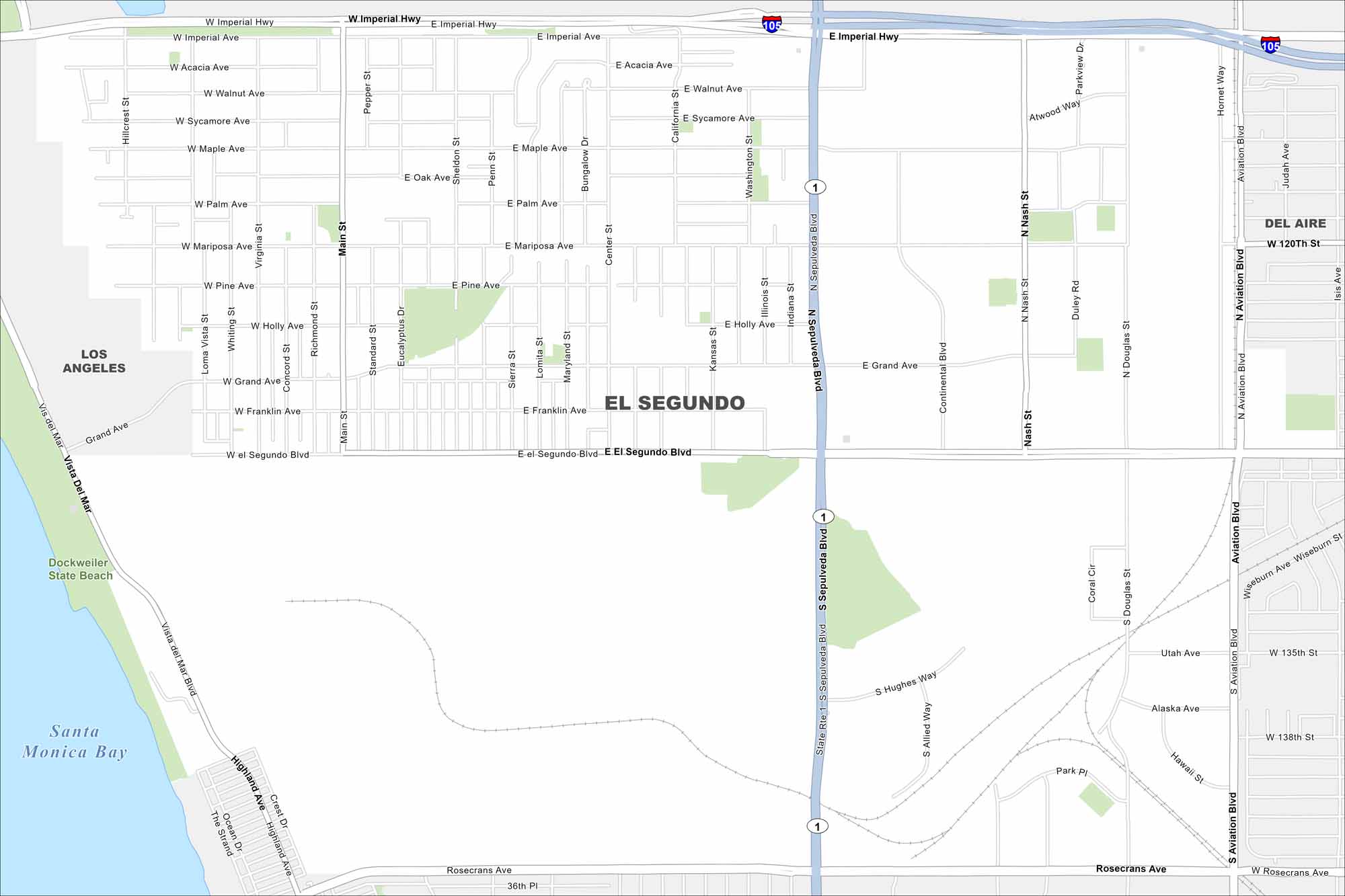
El Segundo hugs the coast just south of LAX. On the map, you’ll spot its wide beaches and industrial areas inland. The city has a strong aerospace presence, with major companies anchored here.
California State Maps
Explore California with our state maps


Map Information
On the Map
Interstates/Highways: I-105, State Rte 1 Major Roads: Sepulveda Blvd, Imperial Hwy, Rosecrans Ave, El Segundo Blvd, Grand Ave, Main St, Aviation Blvd, Nash St, Douglas St, Mariposa Ave, Holly Ave, Franklin Ave, Palm Ave, Pine Ave, Oak Ave, Maple Ave, Walnut Ave, Acacia Ave, Hughes Way, Park Pl Lakes and Reservoirs: Santa Monica Bay Parks and Preserves: Dockweiler State Beach Nearby Communities: Los Angeles, Del AireCalifornia City Maps
Here are detailed maps of California


