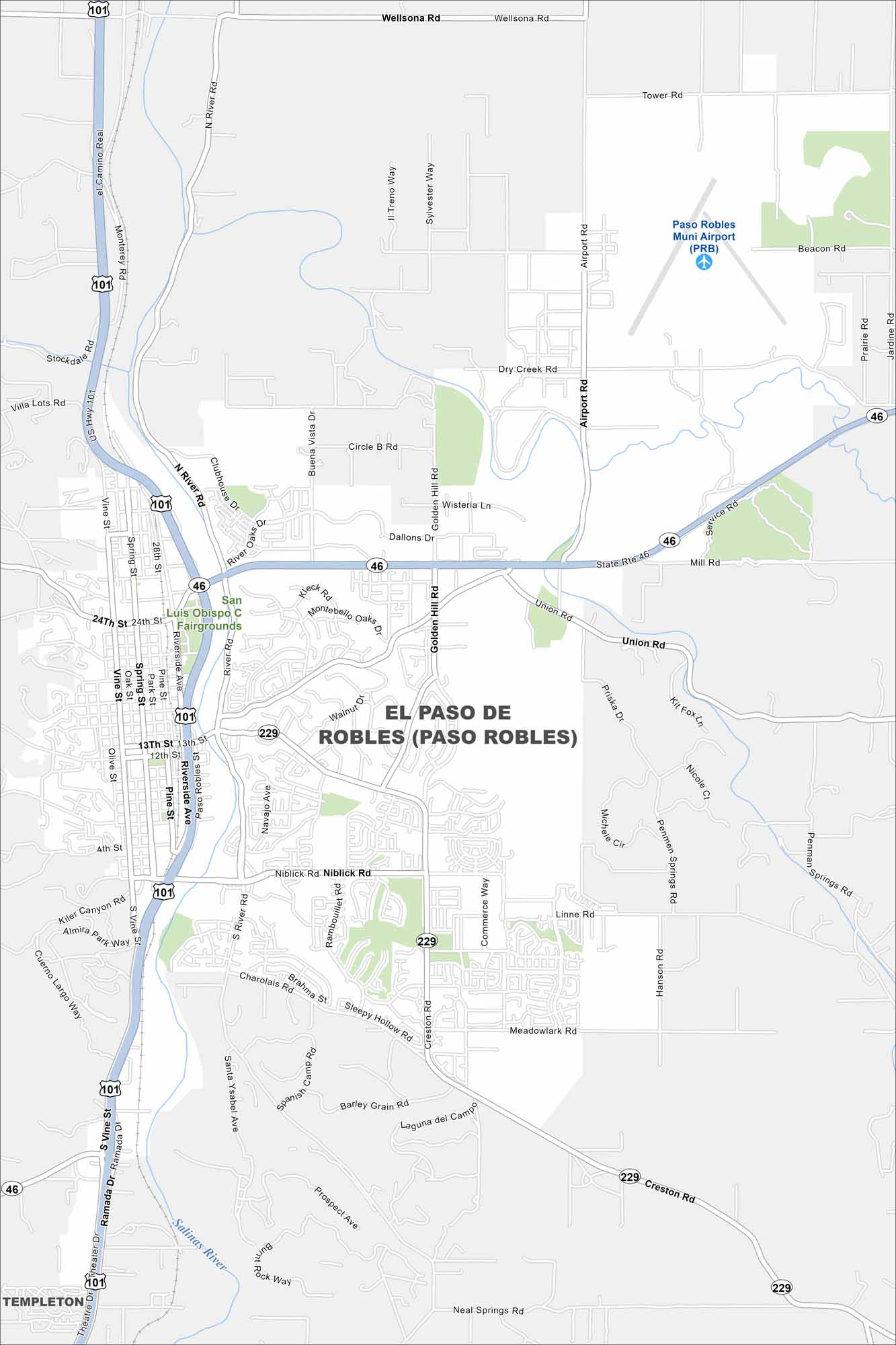
Map of El Paso de Robles (Paso Robles), California
Paso Robles spreads across a rolling valley surrounded by vineyards. The Salinas River winds quietly through the region. It’s famous for hot springs and wineries, a mix unique to the Central Coast.
California State Maps
Explore California with our state maps


Map Information
On the Map
Interstates/Highways: US Hwy 101, State Rte 46, State Rte 229 Major Roads: Niblick Rd, Spring St, Riverside Ave, Creston Rd, River Rd, Union Rd, 24th St, 13th St, 12th St, Airport Rd, Golden Hill Rd, Dry Creek Rd, Tower Rd, Wellsona Rd, Jardine Rd, Linne Rd, Salinas River Rd, Vine St, Oak St, Park St Airports: Paso Robles Muni Airport (PRB) Lakes and Reservoirs: Salinas River Parks and Preserves: San Luis Obispo Fairgrounds Nearby Communities: TempletonCalifornia City Maps
Here are detailed maps of California


