Map of El Cerrito, California
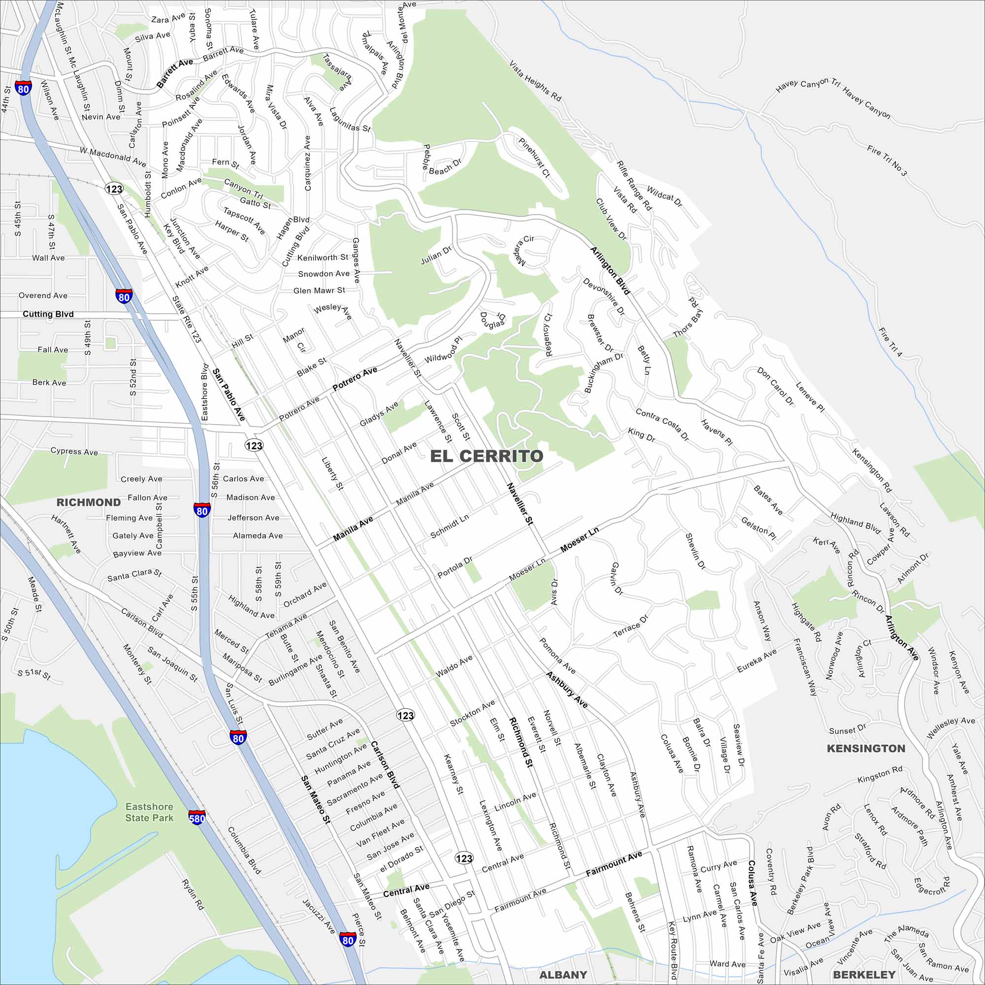
Our map of El Cerrito shows this hillside community overlooking San Francisco Bay. Streets climb toward the Berkeley Hills, with open space along the ridgeline. The city sits right between Berkeley and Richmond, giving it a central East Bay spot.
California State Maps
Explore California with our state maps


Map Information
On the Map
Interstates/Highways: I-80, I-580, State Rte 123 Major Roads: San Pablo Ave, Cutting Blvd, Fairmount Ave, Moeser Ln, Central Ave, Potrero Ave, Carlson Blvd, Arlington Blvd, Eastshore Blvd, Ashbury Ave, Stockton Ave, Richmond St, Navellier St, Manila Ave, Schmidt Ln, Macdonald Ave, Barrett Ave, Key Blvd, Knott Ave, Wall Ave Nearby Communities: Richmond, Kensington, Albany, BerkeleyCalifornia City Maps
Here are detailed maps of California


