Map of El Centro, California
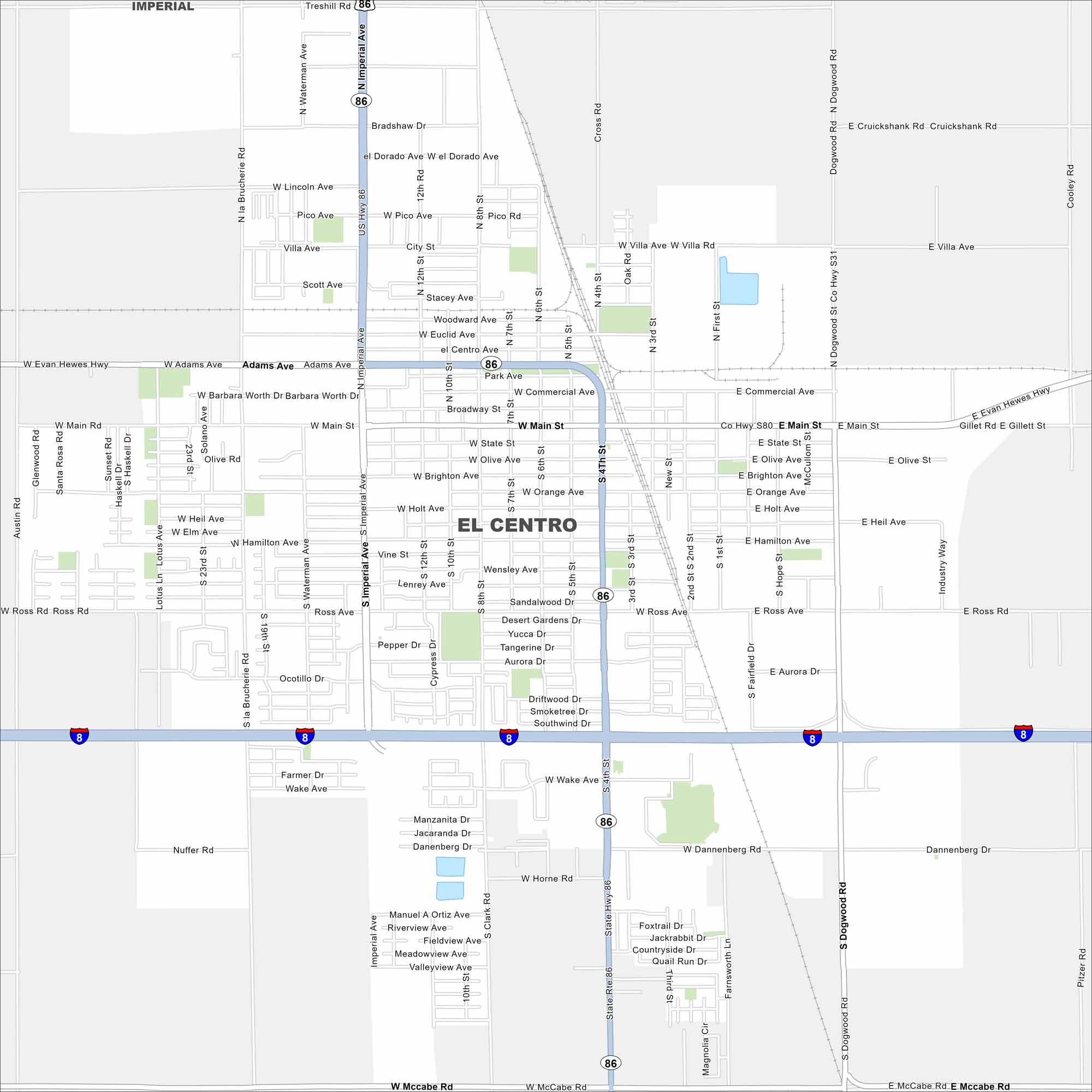
Our map of El Centro shows a city in the heart of the Imperial Valley. Canals and farmland cover the landscape around it. It’s the largest U.S. city below sea level.
California State Maps
Explore California with our state maps


Map Information
On the Map
Interstates/Highways: I-8, State Rte 86 Major Roads: Main St, Imperial Ave, 4th St, Ross Ave, Adams Ave, Evan Hewes Hwy, McCabe Rd, Dogwood Rd, Wake Ave, Waterman Ave, 8th St, 12th St, La Brucherie Rd, Pico Ave, Villa Ave, Commercial Ave, State St, Brighton Ave, Orange Ave, Holt Ave Nearby Communities: ImperialCalifornia City Maps
Here are detailed maps of California


