Map of El Cajon, California
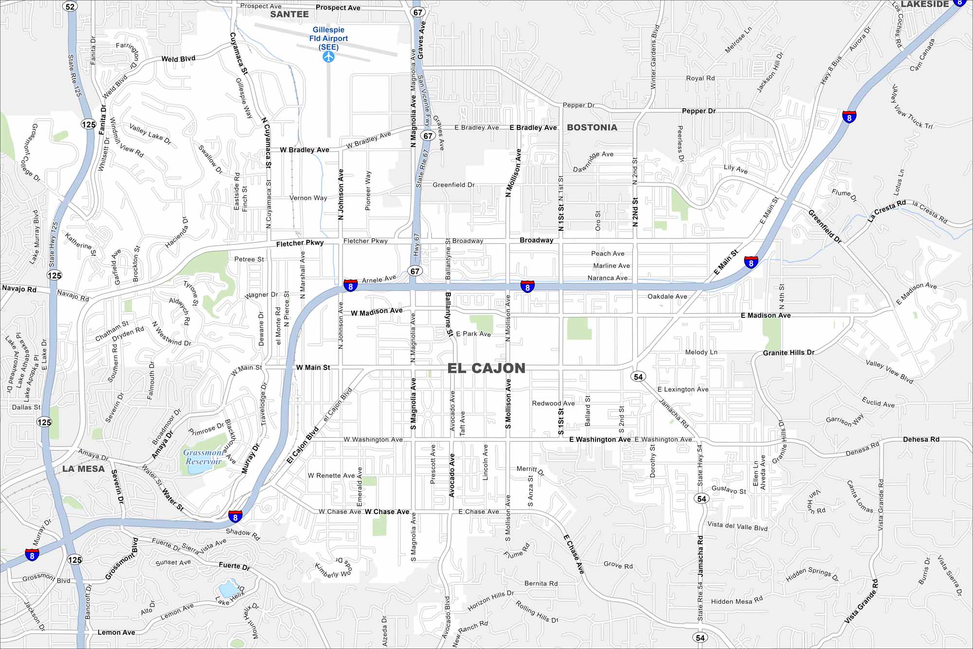
Explore El Cajon in a valley east of San Diego. This map highlights this city surrounded by mountains on nearly all sides. Its name means “the box”, fitting because of its geography.
California State Maps
Explore California with our state maps


Map Information
On the Map
Interstates/Highways: I-8, State Rte 125, State Rte 67, State Rte 52, State Rte 54 Major Roads: Main St, El Cajon Blvd, Washington Ave, Broadway, Fletcher Pkwy, Magnolia Ave, Mollison Ave, Jamacha Rd, Chase Ave, Bradley Ave, Second St, Johnson Ave, Cuyamaca St, Marshall Ave, Greenfield Dr, Madison Ave, Graves Ave, Avocado Ave, Anza St, Hillsdale Rd Airports: Gillespie Fld Airport (SEE) Lakes and Reservoirs: Grassmont Reservoir Nearby Communities: Santee, Bostonia, Lakeside, La MesaCalifornia City Maps
Here are detailed maps of California


