Map of East Palo Alto, California
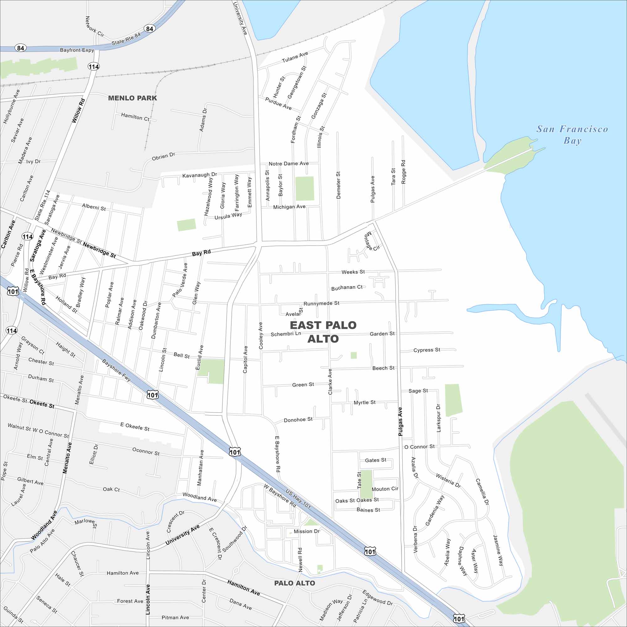
East Palo Alto is on the edge of the San Francisco Bay. This map highlights wetlands and open shoreline areas nearby. Its position places it between Palo Alto and the tech corridors of Silicon Valley.
California State Maps
Explore California with our state maps


Map Information
On the Map
Interstates/Highways: U.S. Hwy 101, State Rte 84, State Rte 114 Major Roads: University Ave, Bay Rd, Pulgas Ave, Willow Rd, Menalto Ave, Newbridge St, Kavanaugh Dr, Cooley Ave, Clarke Ave, Donohoe St, O’Connor St, Woodland Ave, Runnymede St, Weeks St, Garden St, Beech St, Myrtle St, Manhattan Ave, Newell Rd, Hamilton Ave Lakes and Reservoirs: San Francisco Bay Nearby Communities: Menlo Park, Palo AltoCalifornia City Maps
Here are detailed maps of California


