Map of Downey, California
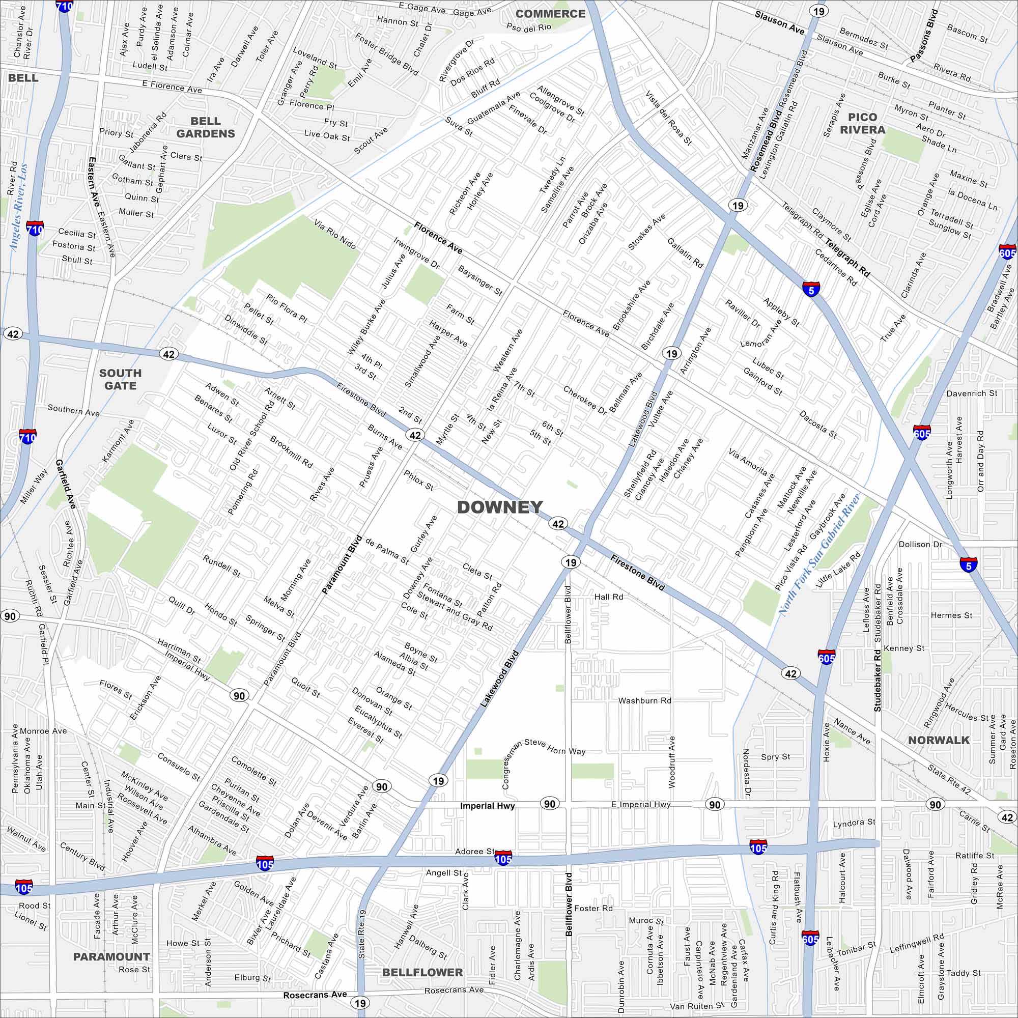
Check out our map of Downey in Los Angeles County. Streets extend between freeways, and you’ll notice the Los Angeles River nearby. The city is tied to aerospace history and suburban growth.
California State Maps
Explore California with our state maps


Map Information
On the Map
Interstates/Highways: I-710, I-605, I-105, State Rte 19, State Rte 42, State Rte 90 Major Roads: Firestone Blvd, Imperial Hwy, Lakewood Blvd, Paramount Blvd, Bellflower Blvd, Florence Ave, Rosecrans Ave, Telegraph Rd, Stewart and Gray Rd, Old River School Rd, Downey Ave, Rives Ave, Brookshire Ave, Woodruff Ave, Studebaker Ave, Gardendale St, Foster Rd, Gallatin Rd, Quill Dr, Hondo St Major Rivers: San Gabriel River, Los Angeles River Nearby Communities: Bell, Bell Gardens, Commerce, Pico Rivera, South Gate, Norwalk, Paramount, Santa Fe SpringsCalifornia City Maps
Here are detailed maps of California


