Map of Delano, California
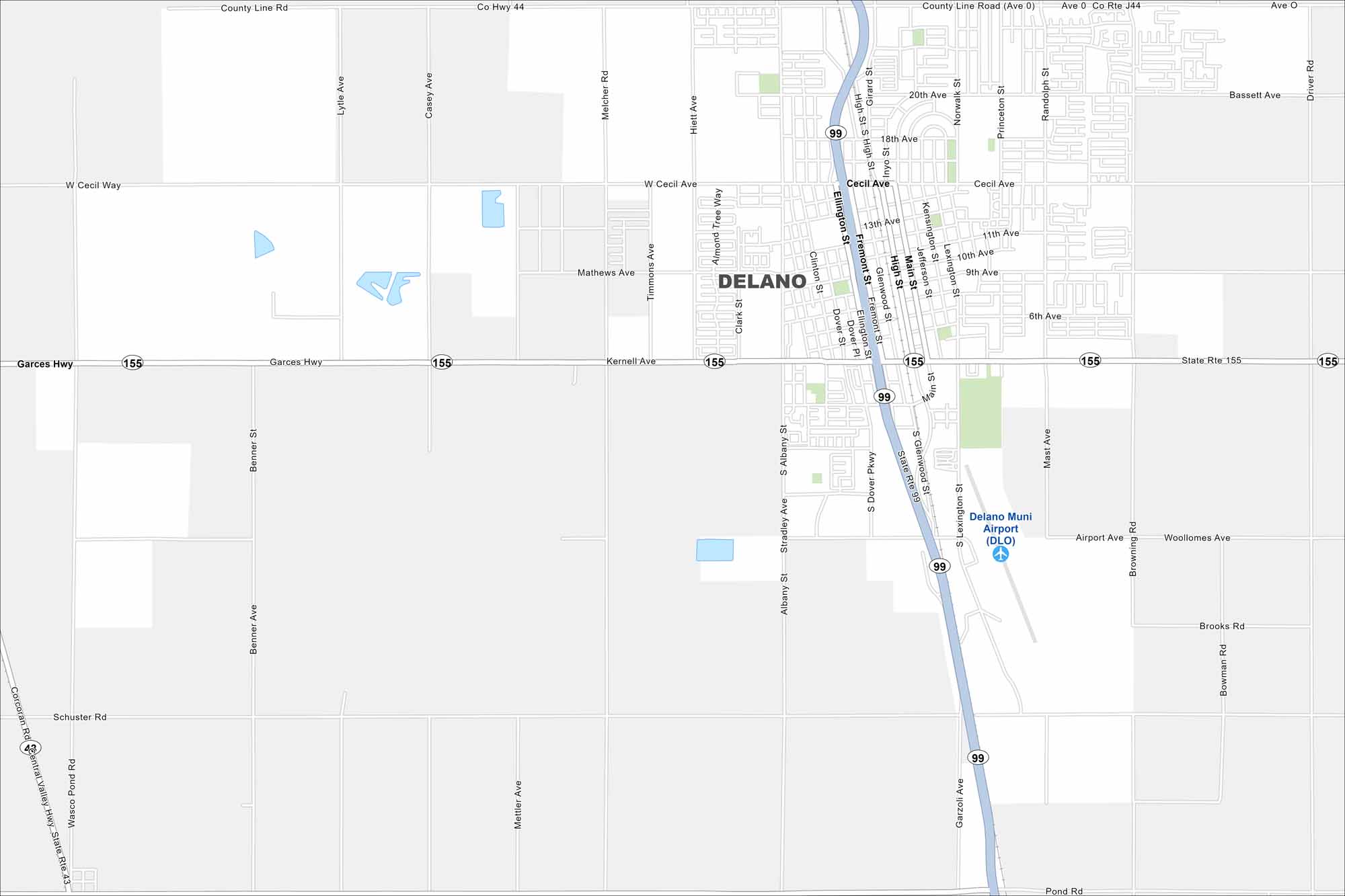
Look over Delano with its roads, highways, and farmland stretching in every direction. At the center of the San Joaquin Valley, the city is known for vineyards and agriculture. Fresno sits a short drive north.
California State Maps
Explore California with our state maps


Map Information
On the Map
Interstates/Highways: State Rte 99, State Rte 155 Major Roads: Cecil Ave, High St, Main St, Garces Hwy, County Line Rd, Fremont St, Ellington St, Dover Pkwy, Lexington St, Garzoli Ave, Browning Rd, Airport Ave, Woollomes Ave, Mettler Ave, Benner Ave, Girard St, Inyo St, 9th Ave, 11th Ave, 13th Ave Airports: Delano Muni Airport (DLO)California City Maps
Here are detailed maps of California


