Map of Daly City, California
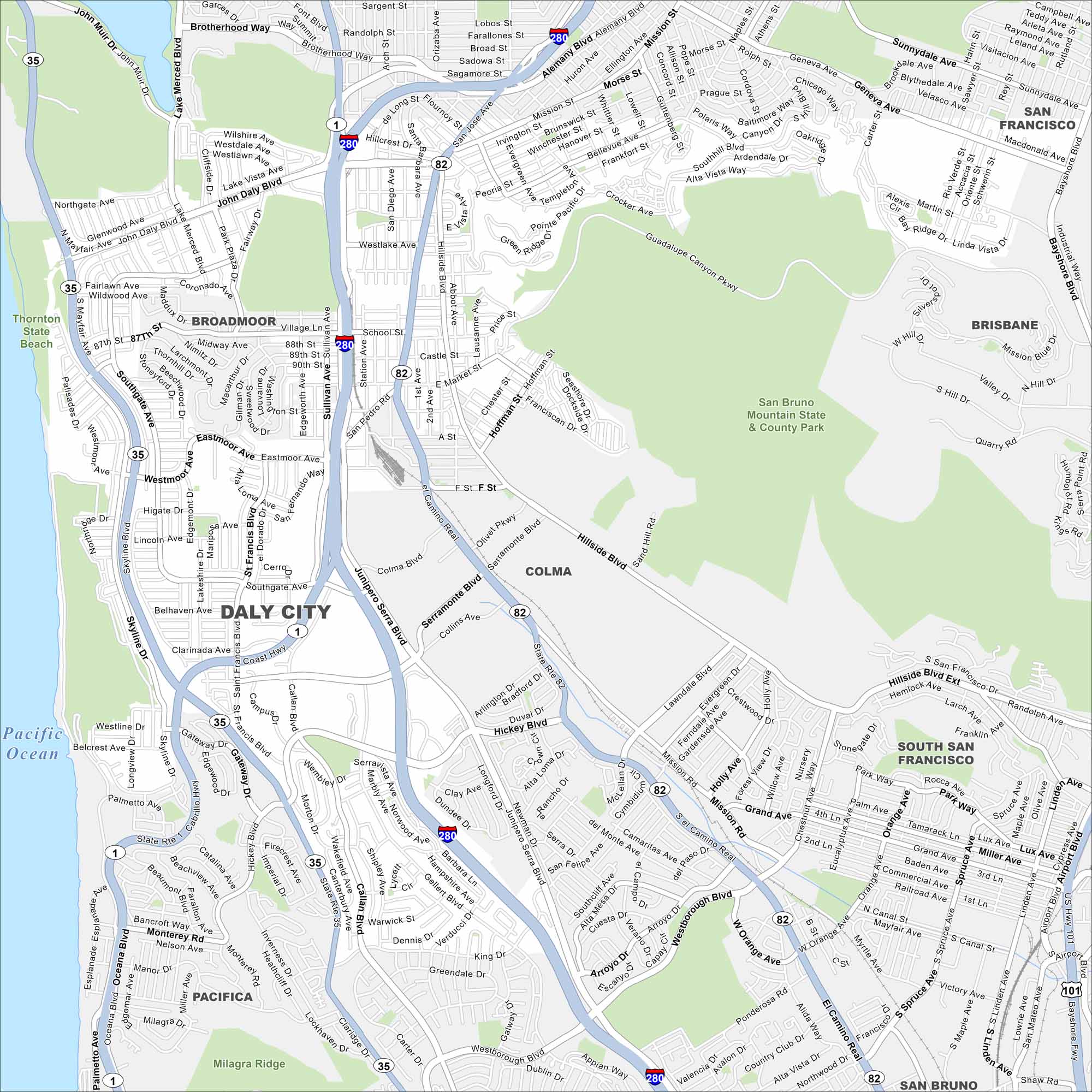
Look at our map of Daly City with its network of roads, highways, and coastal access. Sitting on the edge of San Francisco, it stretches along the Pacific cliffs. Fog from the ocean often blankets the area.
California State Maps
Explore California with our state maps


Map Information
On the Map
Interstates/Highways: I-280, U.S. Hwy 101 Major Roads: Mission St, Junipero Serra Blvd, Geneva Ave, Skyline Blvd, John Daly Blvd, Hillside Blvd, San Pedro Rd, Colma Blvd, Serramonte Blvd, Hickey Blvd, Callan Blvd, Sullivan Ave, Westlake Ave, Alemany Blvd, Guadalupe Canyon Pkwy, Crocker Ave, Southgate Ave, Westline Dr, Market St, Eastmoor Ave Lakes and Reservoirs: Pacific Ocean Parks and Preserves: San Bruno Mountain State & County Park, Thornton State Beach, Milagra Ridge Nearby Communities: Broadmoor, Colma, Brisbane, South San Francisco, Pacifica, San BrunoCalifornia City Maps
Here are detailed maps of California


