Map of Cupertino, California
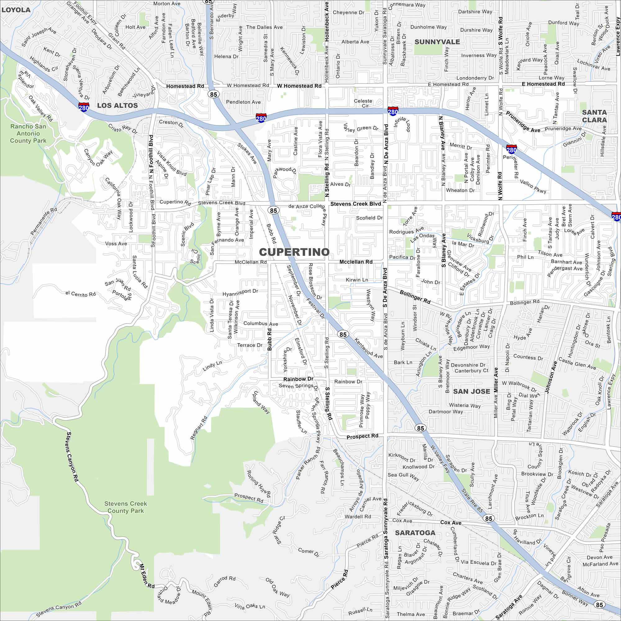
Our map of Cupertino shows its roadways, freeways, and nearby foothills. In the heart of Silicon Valley, the city is home to Apple’s headquarters. The Santa Cruz Mountains frame its western edge.
California State Maps
Explore California with our state maps


Map Information
On the Map
Interstates/Highways: I-280, SR 85 Major Roads: Stevens Creek Blvd, Homestead Rd, De Anza Blvd, Bollinger Rd, Sunnyvale Saratoga Rd, Miller Ave, Stelling Rd, McClellan Rd, Prospect Rd, Rainbow Dr, Bubb Rd, Foothill Blvd, Wolfe Rd, Lawrence Expy, Pierce Rd, Tantau Ave, Johnson Ave, Blaney Ave, Regnart Rd, Stevens Canyon Rd Lakes and Reservoirs: Stevens Creek Reservoir Parks and Preserves: Rancho San Antonio County Park, Stevens Creek County Park Nearby Communities: Loyola, Los Altos, Sunnyvale, Santa Clara, San Jose, SaratogaCalifornia City Maps
Here are detailed maps of California


