Map of Cudahy, California
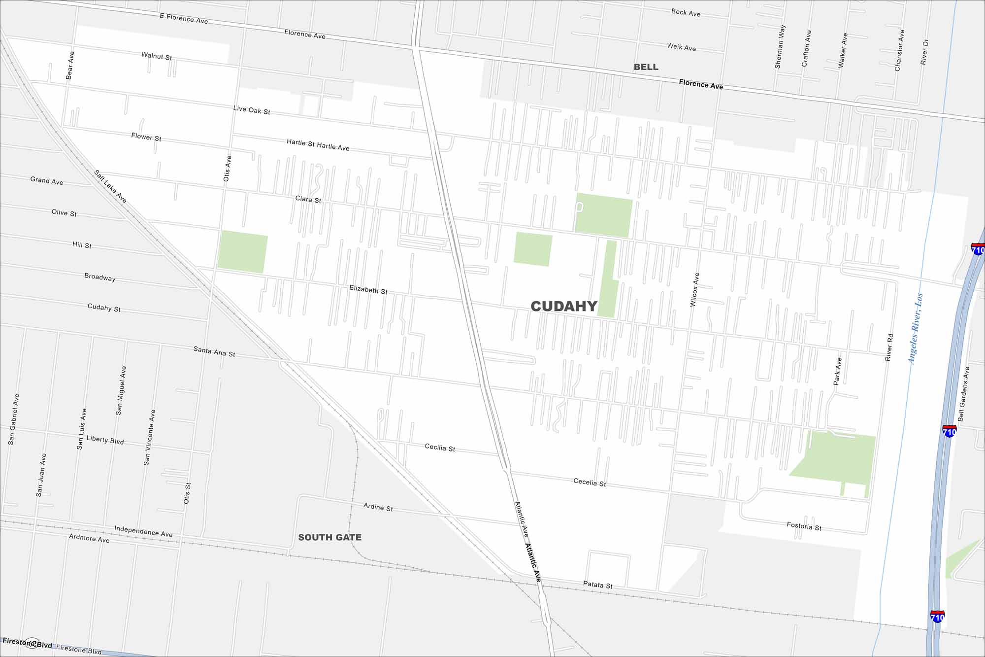
Our map of Cudahy outlines local roads, highways, and tight urban blocks. Part of southeast Los Angeles County, it’s one of the smallest cities in the region. The Los Angeles River runs along its eastern edge.
California State Maps
Explore California with our state maps


Map Information
On the Map
Interstates/Highways: I-710 Major Roads: Atlantic Ave, Florence Ave, Firestone Blvd, Elizabeth St, Wilcox Ave, Patata St, Live Oak St, Clara St, Santa Ana St, Cecelia St, Ardine St, Independence Ave, River Rd, Bell Gardens Ave, Park Ave, Otis Ave, Salt Lake Ave, Hill St, Broadway, Cudahy St Major Rivers: Los Angeles River Nearby Communities: Bell, South Gate, Bell GardensCalifornia City Maps
Here are detailed maps of California


