Map of Costa Mesa, California
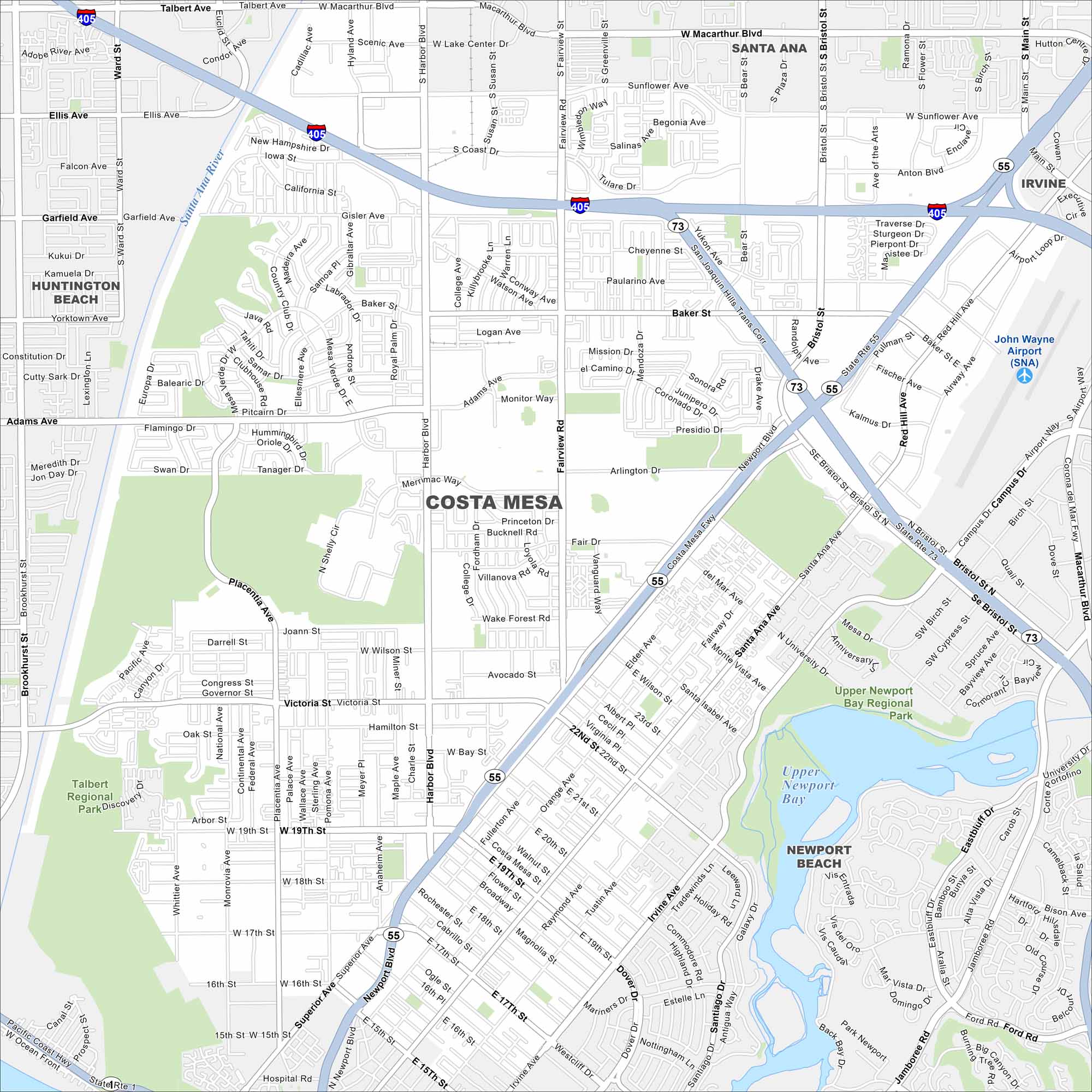
Here’s our map of Costa Mesa, located in the heart of Orange County. You’ll find its highways, parks and waterways. It’s a hub for arts and entertainment with the Pacific Ocean just minutes away.
California State Maps
Explore California with our state maps


Map Information
On the Map
Interstates/Highways: I-405, I-5, State Rte 73, State Rte 55, State Rte 1 Major Roads: Harbor Blvd, Bristol St, Newport Blvd, Fairview Rd, MacArthur Blvd, Baker St, Adams Ave, Placentia Ave, Victoria St, 19th St, 17th St, Sunflower Ave, Paularino Ave, Bear St, Red Hill Ave, Jamboree Rd, Irvine Ave, Dover Dr, Tustin Ave, Mesa Dr Airports: John Wayne Airport (SNA) Lakes and Reservoirs: Upper Newport Bay Major Rivers: Santa Ana River Parks and Preserves: Talbert Regional Park, Upper Newport Bay Regional Park, Santana Regional Park Nearby Communities: Santa Ana, Irvine, Newport Beach, Huntington BeachCalifornia City Maps
Here are detailed maps of California


