Connecticut National Parks and Forests Map
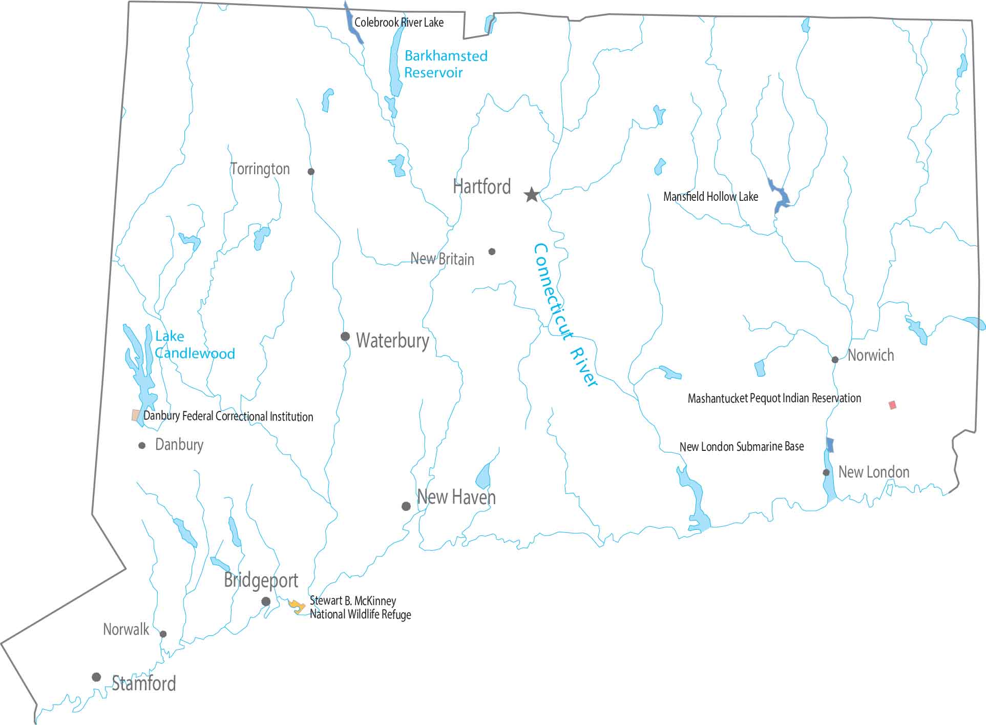
I’m going to honest with you. There’s not much here for national parks and forests. Open land appears in short breaks between development. Forests and parks are present but compact. Our map shows how everything fits tightly in the state of Connecticut.
Map Information
On the Map
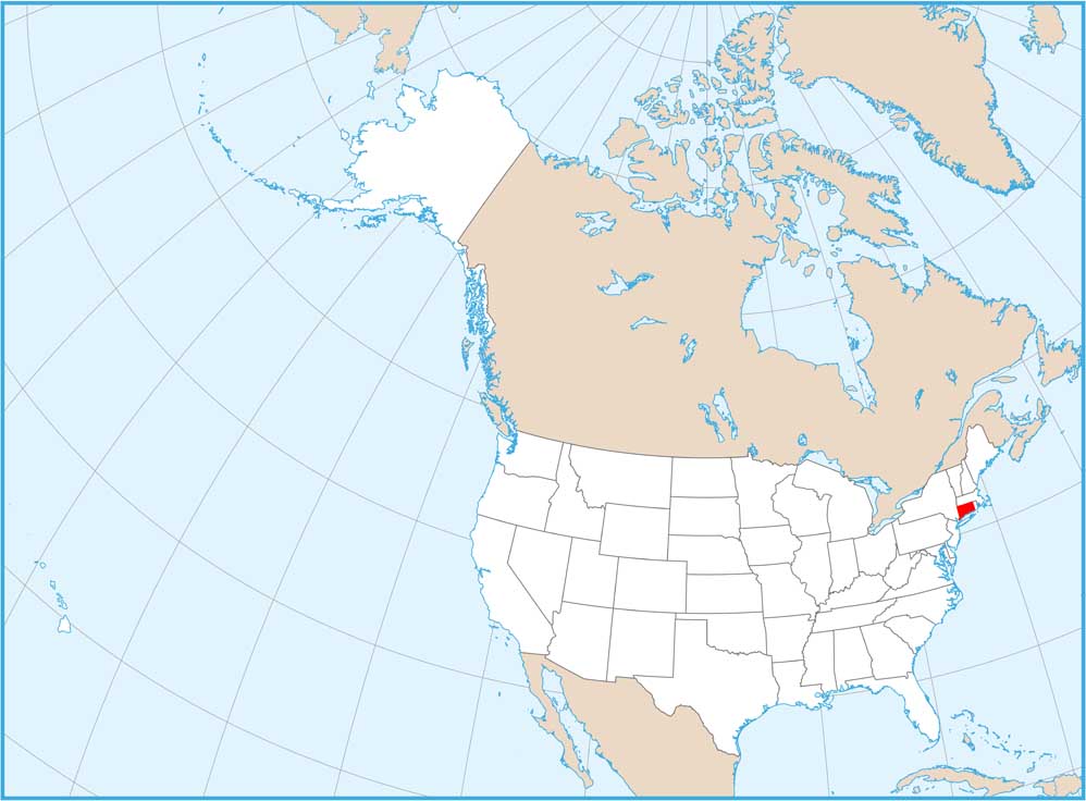
Connecticut State Maps
Here’s your getaway to Connecticut geography


