Map of Compton, California
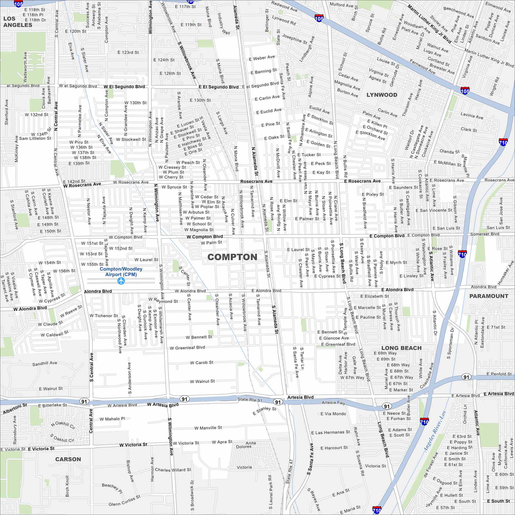
South of downtown Los Angeles, Compton is known for its cultural influence for hip hop music. Major freeways cross right through its center. Our map of Compton highlights streets, freeways, and surrounding neighborhoods.
California State Maps
Explore California with our state maps


Map Information
On the Map
Interstates/Highways: I-710, I-105, State Rte 91 Major Roads: Compton Blvd, Rosecrans Ave, Alondra Blvd, Artesia Blvd, Alameda St, Wilmington Ave, Long Beach Blvd, Central Ave, Santa Fe Ave, Atlantic Ave, Victoria St, Greenleaf Blvd, El Segundo Blvd, 130th St, 135th St, Main St, Avalon Blvd, Broadway, Olive St, Laurel St Airports: Compton/Woodley Airport (CPM) Major Rivers: Los Angeles River Nearby Communities: Los Angeles, Lynwood, Paramount, Long Beach, CarsonCalifornia City Maps
Here are detailed maps of California


