Map of Collierville, Tennessee
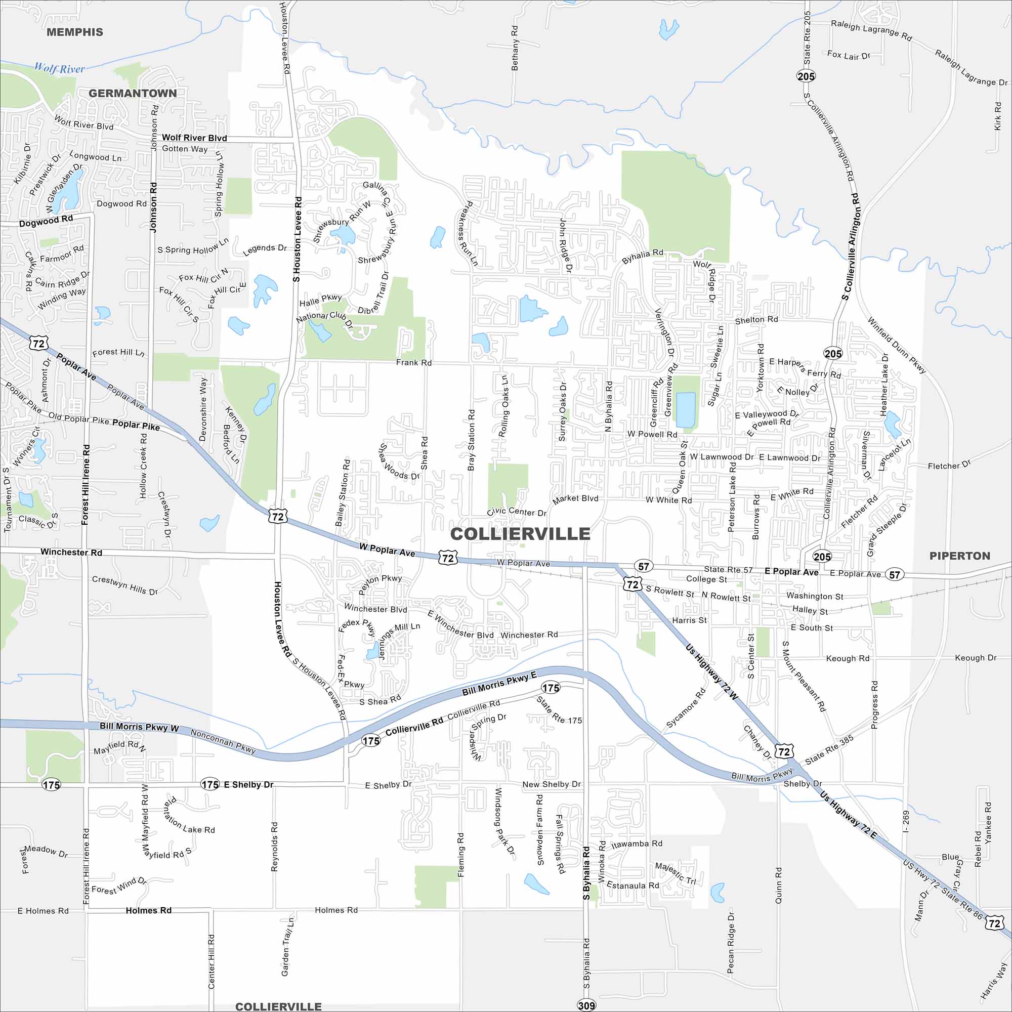
Our map of Collierville highlights its roads, highways, and historic square. It’s located east of Memphis with farmland stretching out beyond its neighborhoods.
Map Information
On the Map
Interstates/Highways: State Rte 385, Bill Morris Pkwy, US Hwy 72, State Rte 57, State Rte 175, State Rte 205, State Rte 309 Major Roads: Poplar Ave, Byhalia Rd, Houston Levee Rd, Winchester Rd, Collierville Arlington Rd, Shelby Dr, Holmes Rd, Peterson Lake Rd, Fleming Rd, Bray Station Rd, Quinn Rd, Progress Rd, Sycamore Rd, Market Blvd, Frank Rd, Shea Rd, New Shelby Dr, Keough Rd, Wolf River Blvd, Dogwood Rd Nearby Communities: Memphis, Germantown, PipertonTennessee State Maps
Here are our state maps of Tennessee.


City Maps of Tennessee
Explore our Tennessee map collection


