Map of Clovis, California
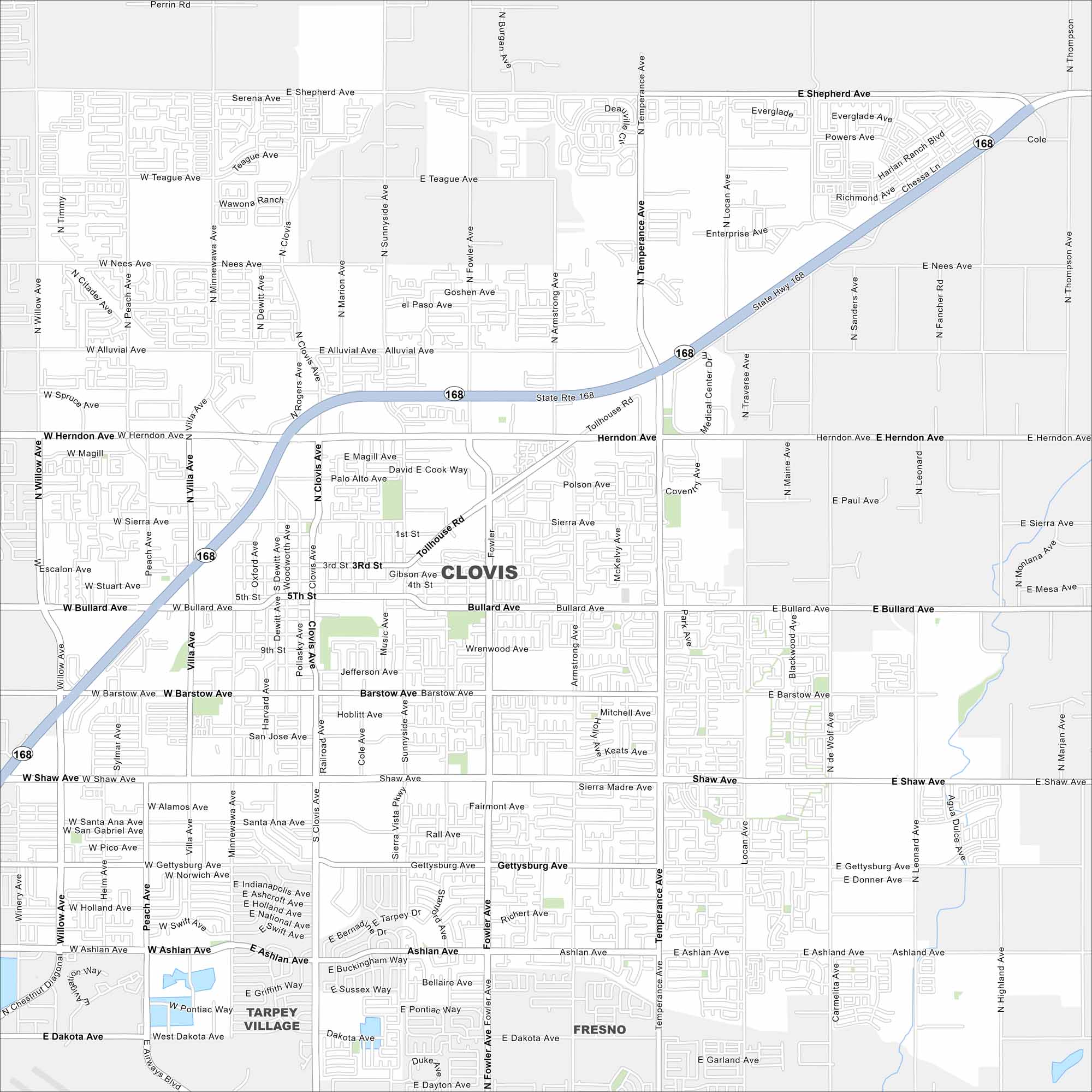
Our map of Clovis stretches from Highway 168 toward the Sierra Nevada foothills. Located northeast of Fresno, the Sierra Nevada mountains rise in the distance. It calls itself the “Gateway to the Sierras”.
California State Maps
Explore California with our state maps


Map Information
On the Map
Interstates/Highways: State Rte 168 Major Roads: Herndon Ave, Bullard Ave, Shaw Ave, Ashlan Ave, Shepherd Ave, Nees Ave, Alluvial Ave, Tollhouse Rd, Clovis Ave, Fowler Ave, Temperance Ave, Sunnyside Ave, Willow Ave, Minnewawa Ave, Peach Ave, Villa Ave, De Wolf Ave, Leonard Ave, Armstrong Ave, Locan Ave Nearby Communities: Fresno, Tarpey VillageCalifornia City Maps
Here are detailed maps of California


