Map of Clifton, New Jersey
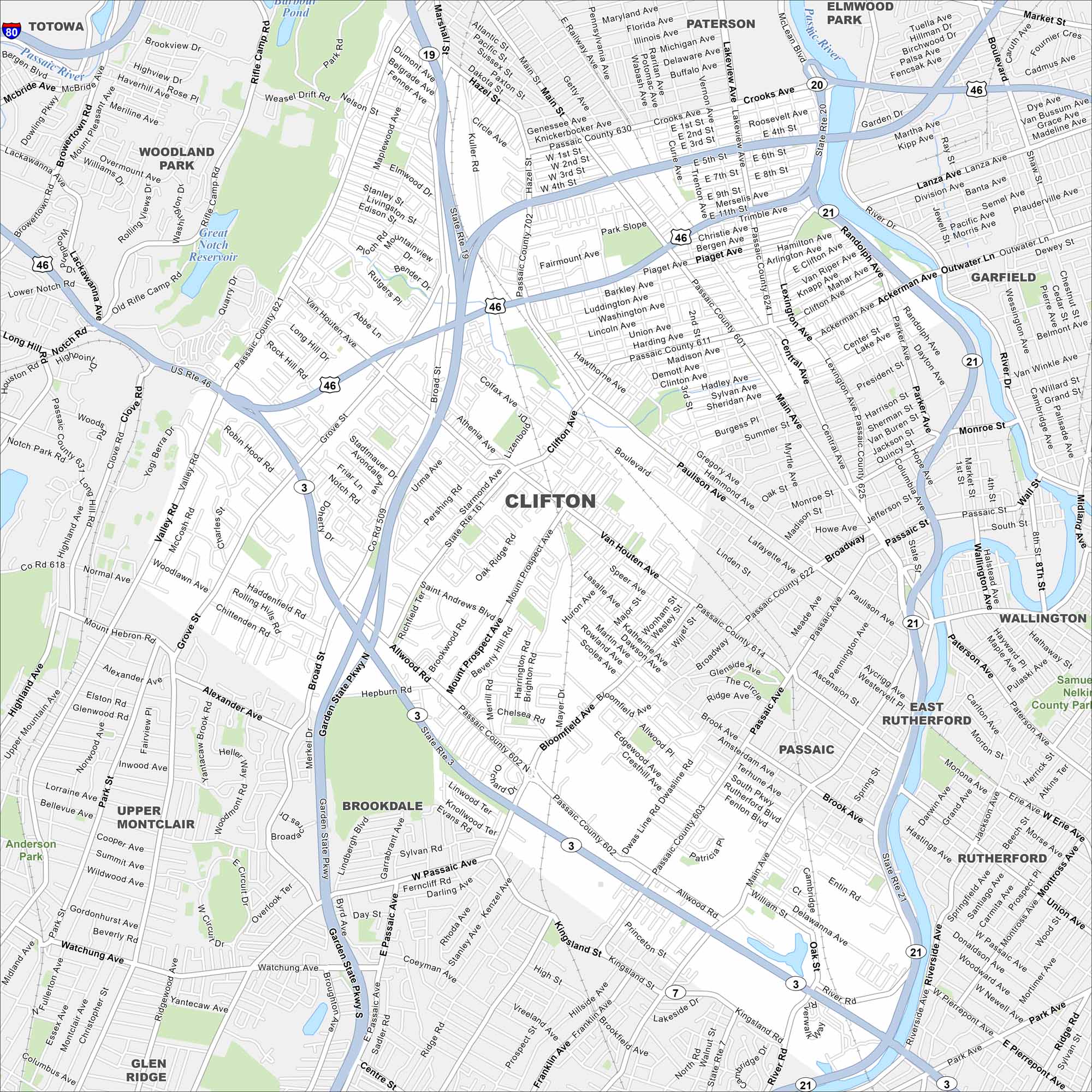
Clifton is shown with its streets, parks, and rivers. It’s just west of New York City and contains both residential areas and industry. The Passaic River forms part of its border.
Map Information
On the Map
Interstates/Highways: I-80, US Hwy 46, State Rte 3, State Rte 19, State Rte 21, State Rte 7 Major Roads: Garden State Pkwy, Broad St, Clifton Ave, Main Ave, Van Houten Ave, Paulison Ave, Passaic Ave, Valley Rd, Grove St, Allwood Rd, Bloomfield Ave, Piaget Ave, Hazel St, Lexington Ave, Ackerman Ave, Outwater Ln, River Rd, Kingsland Rd, Mt Prospect Ave, Colfax Ave Lakes and Reservoirs: Great Notch Reservoir, Barbour Pond Major Rivers: Passaic River Parks and Preserves: Samuel Nelkin County Park Nearby Communities: Totowa, Woodland Park, Paterson, Elmwood Park, Garfield, Lodi, Wallington, Passaic, East Rutherford, Rutherford, Nutley, Glen Ridge, Upper Montclair, BrookdaleNew Jersey State Maps
Explore maps from the Garden State.


City Maps of New Jersey
Newark and New Jersey cities in complete detail


