Map of Carson, California
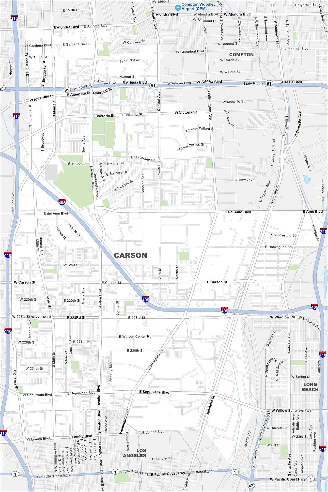
Carson is part of the Los Angeles area. Our map highlights its residential roads and nearby freeways. It’s inland but still near the ports and beaches of southern California. Its central location is what stands out.
California State Maps
Explore California with our state maps


Map Information
On the Map
Interstates/Highways: I-110, I-405, I-710, State Rte 91, State Rte 47, State Rte 103, State Rte 1, Pacific Coast Hwy Major Roads: Carson St, Sepulveda Blvd, Avalon Blvd, Wilmington Ave, Alameda St, Del Amo Blvd, Victoria St, Artesia Blvd, Alondra Blvd, Main St, Figueroa St, Broadway St, 223rd St, 192nd St, Central Ave, University Dr, Watson Center Rd, 230th St, Lomita Blvd Airports: Compton/Woodley Airport (CPM) Nearby Communities: Los Angeles, Long Beach, ComptonCalifornia City Maps
Here are detailed maps of California


