Map of Campbell, California
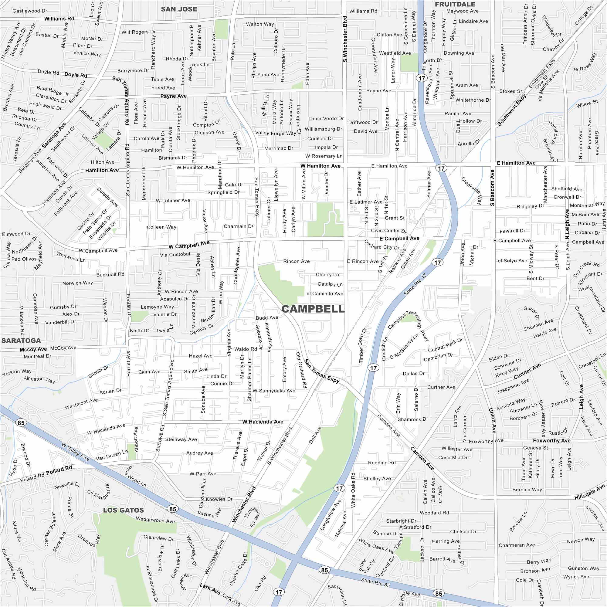
Explore Campbell with our map, a small city in Silicon Valley. It’s surrounded by San Jose but still keeps its own downtown core. Its location in the Bay Area is key.
California State Maps
Explore California with our state maps


Map Information
On the Map
Interstates/Highways: State Rte 17, State Rte 85 Major Roads: Winchester Blvd, San Tomas Expy, Hamilton Ave, Campbell Ave, Bascom Ave, Camden Ave, Curtner Ave, Southwest Expy, Saratoga Ave, Hacienda Ave, Pollard Rd, Budd Ave, Latimer Ave, Rincon Ave, Kennedy Ave, Sunnyoaks Ave, Payne Ave, McCoy Ave, Union Ave, Lark Ave Nearby Communities: San Jose, Los Gatos, Saratoga, FruitdaleCalifornia City Maps
Here are detailed maps of California


