Map of Benicia, California
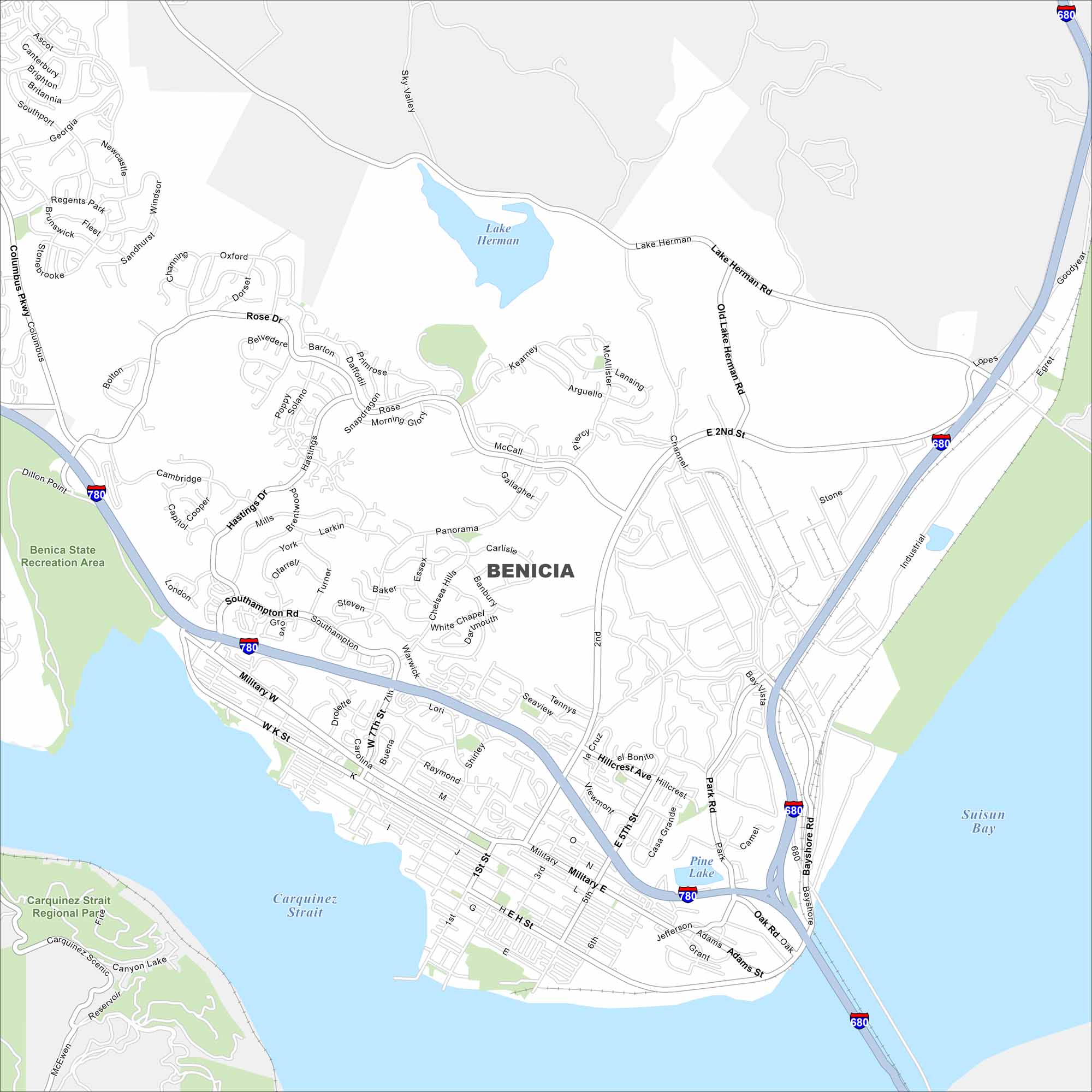
Benicia, California sits on the Carquinez Strait in the Bay Area. Our map highlights waterfront streets and major highways. The city is known for its historic downtown but also its coastal views.
California State Maps
Explore California with our state maps


Map Information
On the Map
Interstates/Highways: I-780, I-680 Major Roads: Military E, Military W, 2nd St, 5th St, Lake Herman Rd, Columbus Pkwy, Industrial Way, Rose Dr, Southampton Rd, Bayshore Rd, Hillcrest Ave, East L St, West K St, 7th St, 1st St, Park Rd, Jefferson St, Adams St, Grant St, Military Rd Lakes and Reservoirs: Lake Herman, Pine Lake, Suisun Bay Major Rivers: Carquinez Strait Parks and Preserves: Benicia State Recreation Area, Carquinez Strait Regional ParkCalifornia City Maps
Here are detailed maps of California


