Map of Beloit, Wisconsin
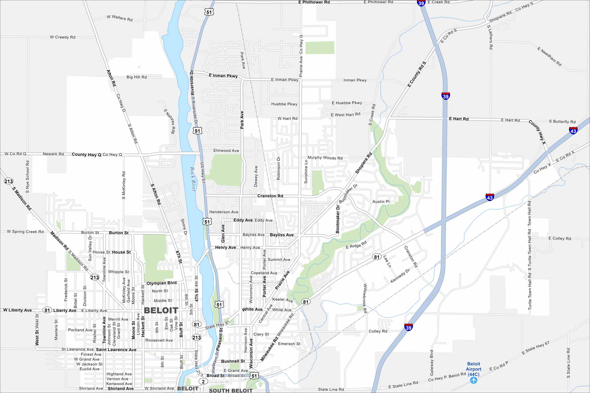
Here’s how to get around Beloit with our city map. Beloit is on the southern border of Wisconsin along the Rock River. Our map highlights its riverfront, streets and parks.
Map Information
On the Map
Interstates/Highways: I-39, I-43, US Hwy 51, State Rte 81, State Rte 213 Major Roads: Madison Rd, Liberty Ave, White Ave, Milwaukee Rd, Cranston Rd, Inman Pkwy, Prairie Ave, Shopiere Rd, Henry Ave, Broad St, Grand Ave, Shirland Ave, Riverside Dr, Park Ave, Turtle Town Hall Rd, Gateway Blvd, Colley Rd, Hart Rd, Huebbe Pkwy, Walters Rd Airports: Beloit Airport Major Rivers: Rock River Nearby Communities: South BeloitWisconsin State Maps
Discover maps of the Badger State.


City Maps of Wisconsin
See our Wisconsin maps designed for clarity.


