Map of Banning, California
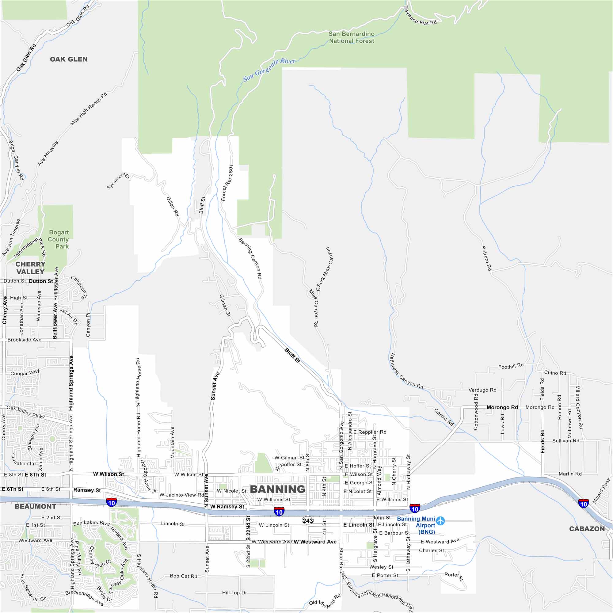
See the highways, streets, and mountain passes on this map. Our map of Banning reveals its place along the San Gorgonio Pass. The city is a gateway between the Inland Empire and Coachella Valley.
California State Maps
Explore California with our state maps


Map Information
On the Map
Interstates/Highways: I-10, State Rte 243. Major Roads: Ramsey St, Wilson St, Westward Ave, Sunset Ave, Lincoln St, Highland Springs Ave, San Gorgonio Ave, Hargrave St, Hathaway St, Nicolet St, Williams St, Gilman St, Barbour St, Porter St, Wesley St, Charles St, George St, Repplier Rd, Hoffer St, 8th St. Airports: Banning Muni Airport (BNG) Major Rivers: San Gorgonio River Parks and Preserves: San Bernardino National Forest, Bogart County Park Nearby Communities: Beaumont, Cherry Valley, Oak Glen, CabazonCalifornia City Maps
Here are detailed maps of California


