Map of Azusa, California
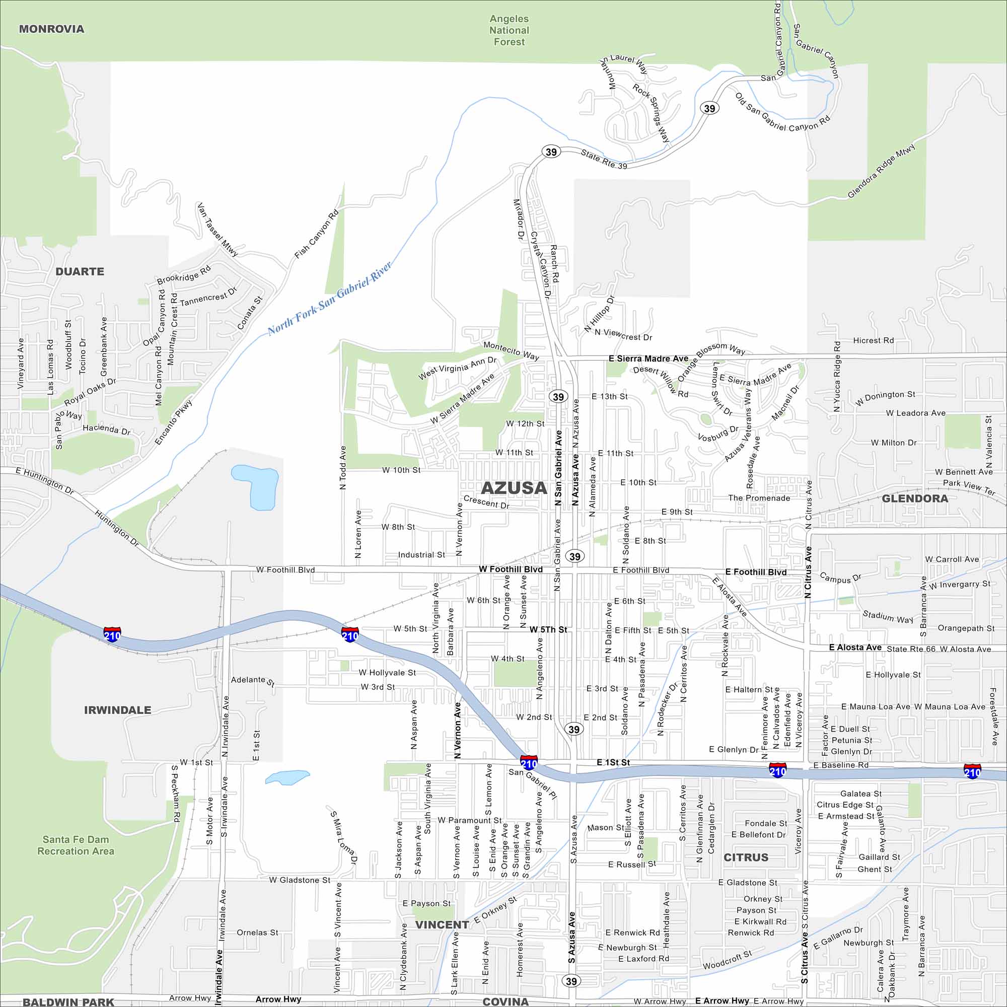
Azusa is mapped with its streets, highways, and mountain edges. The roads climb toward the San Gabriels but also run into the LA Basin. Azusa is called the “Canyon City”.
California State Maps
Explore California with our state maps


Map Information
On the Map
Interstates/Highways: I-210, State Rte 39 Major Roads: Foothill Blvd, Alosta Ave, San Gabriel Ave, Azusa Ave, Citrus Ave, Gladstone St, Arrow Hwy, Sierra Madre Ave, Huntington Dr, Irwindale Ave, Todd Ave, Vernon Ave, Vincent Ave, 1st St, 10th St, 5th St, 9th St, Mauna Loa Ave, Bennett Ave, Newburgh St Major Rivers: San Gabriel River Parks and Preserves: Angeles National Forest, Santa Fe Dam Recreation Area Nearby Communities: Monrovia, Duarte, Irwindale, Baldwin Park, Vincent, Covina, Citrus, GlendoraCalifornia City Maps
Here are detailed maps of California


