Map of Atlantic City, New Jersey
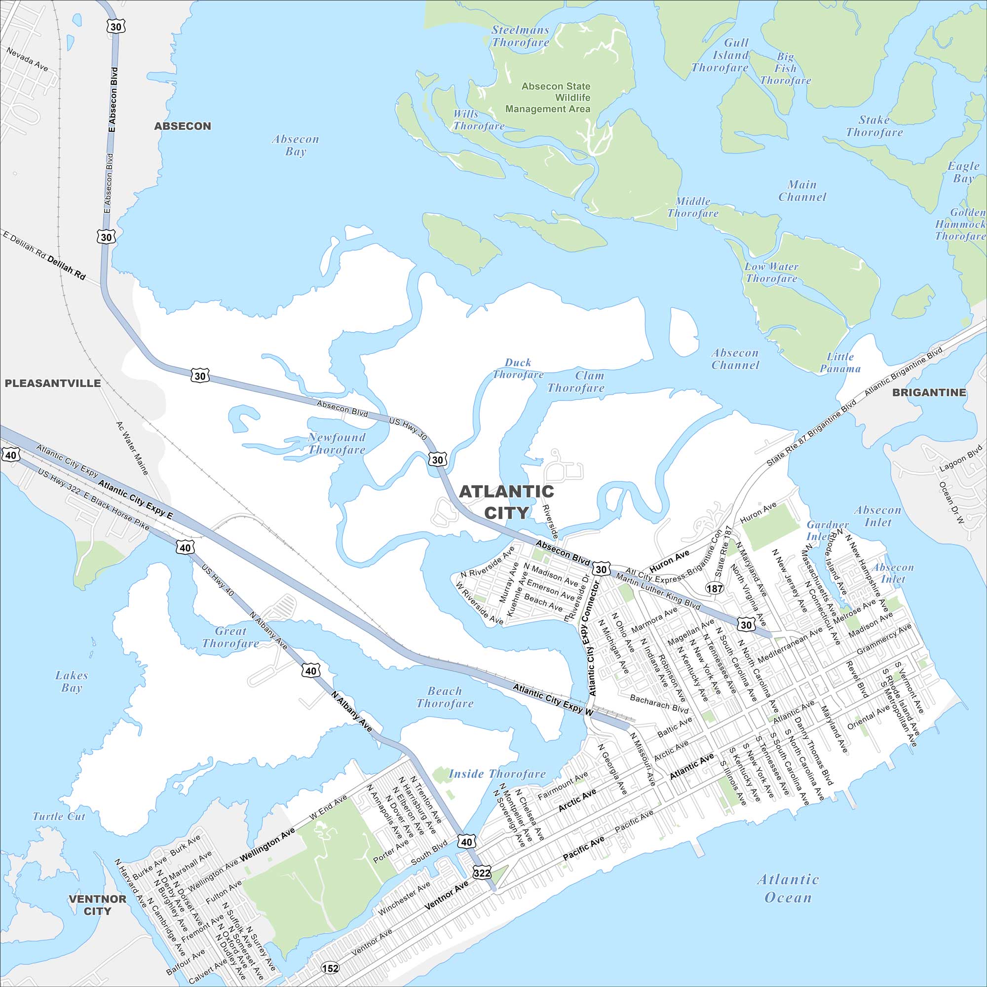
Our map of Atlantic City shows the highways, streets, and boardwalk routes. Roads cut toward the shore for seaside visitors. But overall, Atlantic City is famous for its casinos and beaches.
Map Information
On the Map
Interstates/Highways: US Hwy 30, US Hwy 322, US Hwy 40, State Rte 87, State Rte 187, Atlantic City Expy Major Roads: Absecon Blvd, Atlantic Ave, Pacific Ave, Ventnor Ave, Brigantine Blvd, Huron Ave, Maryland Ave, Virginia Ave, Pennsylvania Ave, North Carolina Ave, South Carolina Ave, Tennessee Ave, New York Ave, Kentucky Ave, Illinois Ave, Indiana Ave, Ohio Ave, Michigan Ave, Arkansas Ave Lakes and Reservoirs: Atlantic Ocean, Absecon Bay, Lakes Bay, Main Channel, Steelmans Thorofare, Wills Thorofare, Duck Thorofare, Clam Thorofare, Middle Thorofare, Low Water Thorofare, Absecon Channel, Little Panama, Gull Island Thorofare, Big Fish Thorofare, Stake Thorofare, Eagle Bay, Golden Hammock Thorofare Major Rivers: Absecon Inlet Parks and Preserves: Absecon State Wildlife Management Area Nearby Communities: Absecon, Pleasantville, Ventnor City, BrigantineNew Jersey State Maps
Explore maps from the Garden State.


City Maps of New Jersey
Newark and New Jersey cities in complete detail


